Freezing mornings continue, milder air to return soon
COLUMBUS, Mississippi (WCBI) – Temperatures remain below average the next couple days. A flip to above average temps comes soon, along with rain chances.
TUESDAY: Expect a mostly sunny sky with an afternoon high in the low to mid 50s – similar to Monday.
TUESDAY NIGHT: Our coldest night! With a clear sky, calm wind, and high pressure overhead, low temperatures should plunge into the middle 20s area-wide.
WEDNESDAY: Our best weather day! We’re expecting full sun with highs near 60° – a nice turnaround from previous days.
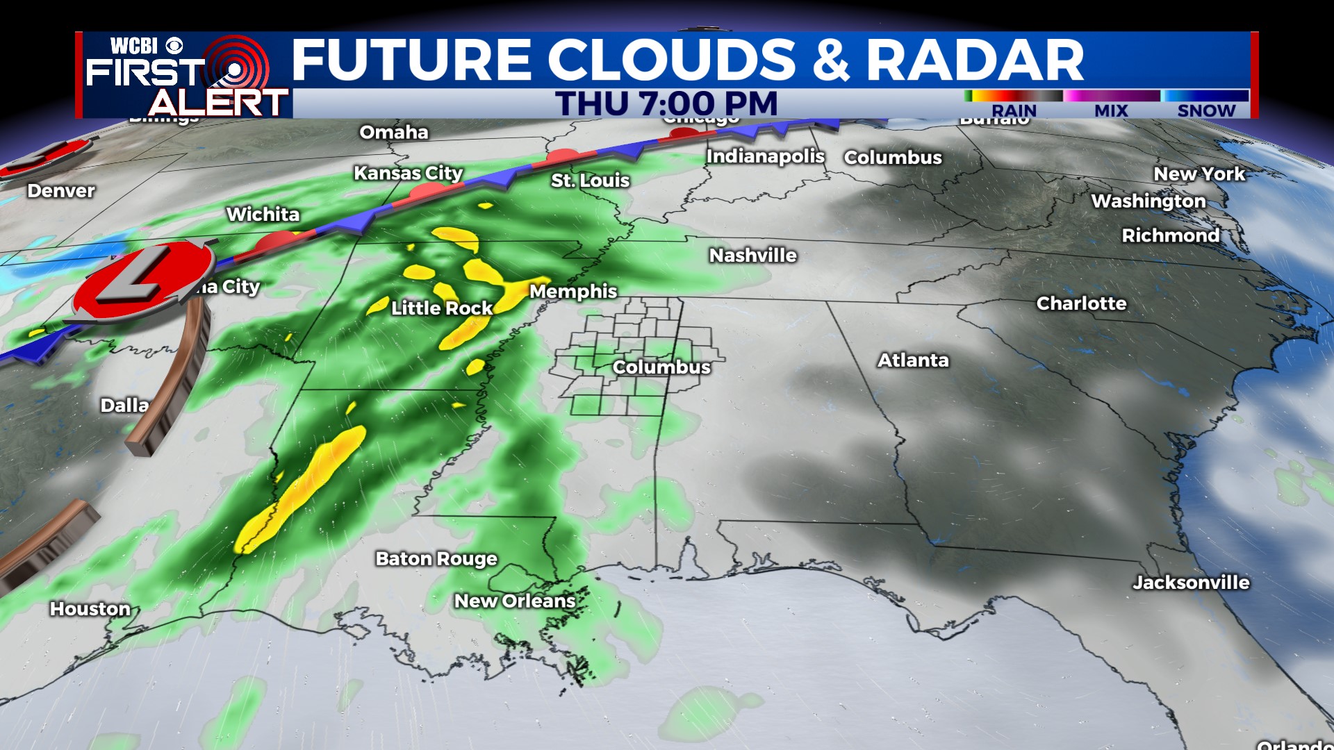
THU/FRI: A strong but compact system will swing into the MS Valley Thursday evening, bringing widespread rain and embedded thunder to the state. We expect the heaviest, most widespread rain after 9 PM Thursday through 9 AM Friday. Once the rain moves out Friday, we’ll salvage a decent afternoon with highs approaching 70 degrees!
WEEKEND: Forecast confidence remains low thanks to a stalled front and active southwest flow aloft. We still expect some occasional showers Saturday & Sunday, but nothing *major* is showing up at this time with any consistency. We’ll keep you posted if things change!


