Front passes w/more gusty winds, calmer weather soon
COLUMBUS, Mississippi (WCBI) – The active weather continues into Thursday as a cold front passes through the region. Gusty winds are likely, but calmer weather moves in Friday!
THURSDAY: Scattered showers and embedded thunder stay possible in the morning hours, but a midday frontal passage will take the rain east. As it does so, winds will kick up quite a bit, gusting over 30 mph across the region. This could still cause some isolated issues, given recent heavy rainfall. We should also squeeze in some late-day sunshine!
THURSDAY NIGHT: The sky becomes mostly clear, and winds calm down for the most part. Temperatures should drop into the 40s!
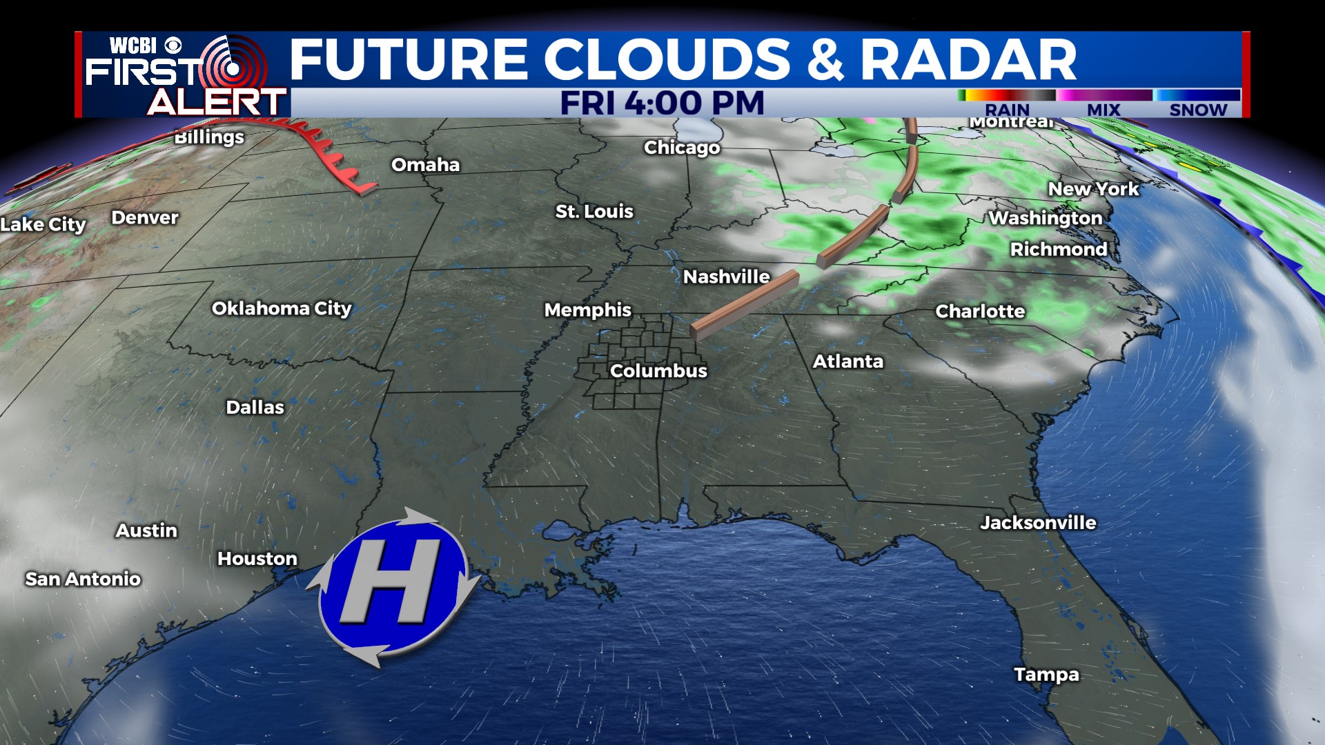
FRIDAY: Finally, some sunshine! As high pressure builds in from the west, we’ll see a sunny, occasionally breezy day with highs near 70°.
WEEKEND: Sunshine continues with increasingly mild days. Highs will reach the low 80s Sunday.
NEXT WEEK: Temperatures stay in the low 80s each day, but the primary storm track looks to stay to the northwest…keeping us generally dry through Wednesday.


