Heat & Storms For Monday!
COLUMBUS, Mississippi (WCBI)- Heat stays our top stories but afternoon thunderstorms will be possible to start the week off for Monday as well.
TONIGHT: A few remaining storms will continue to diminish into partly cloudy conditions overnight. Lows will drop to the mid 70s, but watch out for some patchy fog to develop tomorrow morning, especially for areas further northeast.
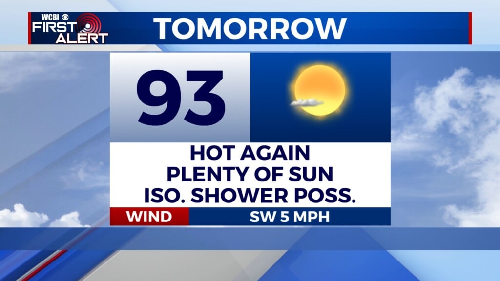
MONDAY: Heat remains the top concern. Highs are expected to reach the upper 90s as heat advisories remain in effect until 9pm for heat index values surpassing 105 F! Make sure to stay cool and well hydrated during the afternoon. Isolated storms will also be possible starting in the afternoon through the evening.

Heat Continues: A toasty set of days are expected Monday-Wednesday as afternoon highs range anywhere from the upper 90s to near 100. Some relief is in sight as a cold front moves through late Tuesday into Wednesday, bringing with it some “cooler” and drier air to help drop highs back down to the low 90s to end the week.