Heavy rain brings flood risk
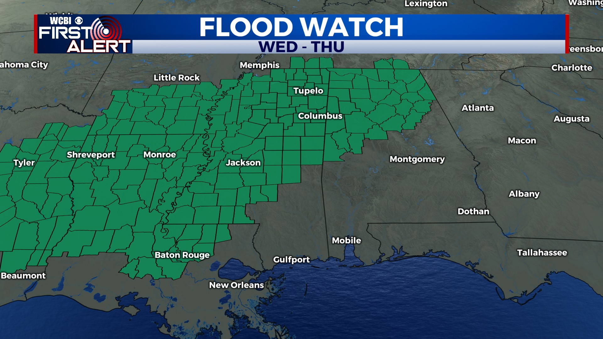
COLUMBUS, Mississippi (WCBI) – Repeated rounds of heavy rain will bring an increased flood risk to the region Wednesday into Thursday.
TUESDAY: Occasional morning showers should thin out by afternoon, leaving a cloudy and mild day with temperatures near 60 degrees.
TUESDAY NIGHT: A good portion of the evening should be fairly dry, but the first round of heavy rain looks to settle in after midnight toward daybreak. Temperatures should stay steady in the upper 50s to near 60°.
WED/THU: A flood watch has been issued for the entire region for this time frame. We expect several rounds of heavy rain and embedded thunderstorms, and rain totals are likely to add up to 3-6″ with locally higher amounts. This will bring a significant risk of flooding to the region, so be ready to act if flash flood warnings are needed and remember, turn around, don’t drown! It’ll also be unseasonably warm with highs in the upper 60s.
FRI/WEEKEND: The heavy rain machine will shut down temporarily Friday, but another strong system will swing through early Saturday. Another round of rain and possible storms will accompany this front as well, but Saturday afternoon & evening will bring drier weather. Clouds may linger Sunday, but brighter weather moves in Monday!