Hot start to the week, higher rain chances arrive mid-week
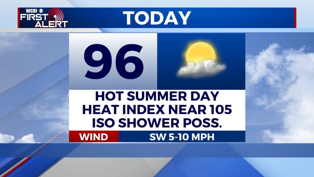
COLUMBUS, Mississippi (WCBI) – Temperatures stay in the 90s to start the week, but higher rain chances later in the week will help bring down heat levels.
MONDAY: Expect plenty of sun through the day with highs in the mid to upper 90s. The best chance for afternoon storms will be in areas near the MS/AL state line after 3p. Any storm taking advantage of the environment could briefly pose a threat for gusty wind as they move/develop south/southeast.
TUESDAY: The best axis of moisture lines up across the central part of the state, taking the best chance of rain with it. Isolated showers or a brief storm will remain possible across northeast MS, but most places should stay dry with highs in the low 90s.
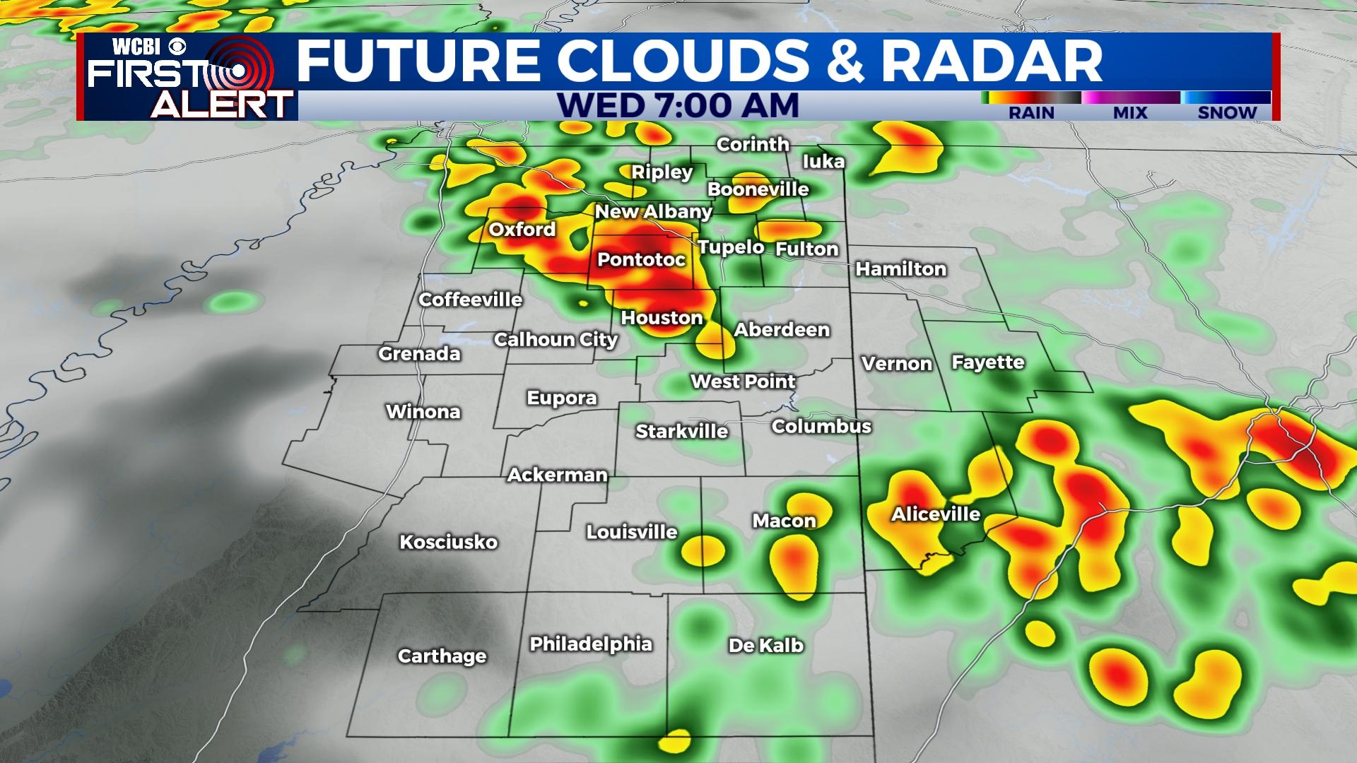
WEDNESDAY: This still looks to offer the best chance for widespread rain and storms. If storms are delayed until early afternoon, a few could become strong; however, if storms arrive early, any severe threat would likely not develop.
REST OF WEEK: Wednesday’s front is likely to stall across the central MS/AL vicinity, keeping at least scattered showers in the forecast through Thursday and Friday. The benefit is highs should stay in the middle 80s!
WEEKEND: Confidence remains low as to what happens with the stalling front. Indications are for now Saturday should be mostly dry followed by an increase in scattered storms again Sunday afternoon.