Hotter mid-week ahead of late-week storm chances
COLUMBUS, Mississippi (WCBI) – Hotter, more humid air settles in for mid-week. This will ultimately lead to climbing rain/storm chances by Friday and the weekend.
WEDNESDAY: Expect plenty of sunshine again, filtered with clouds at times, with highs in the mid 90s. The slightly drier air of late will begin to be “pushed” out by returning moisture, and accordingly the heat advisory has been expanded slightly.
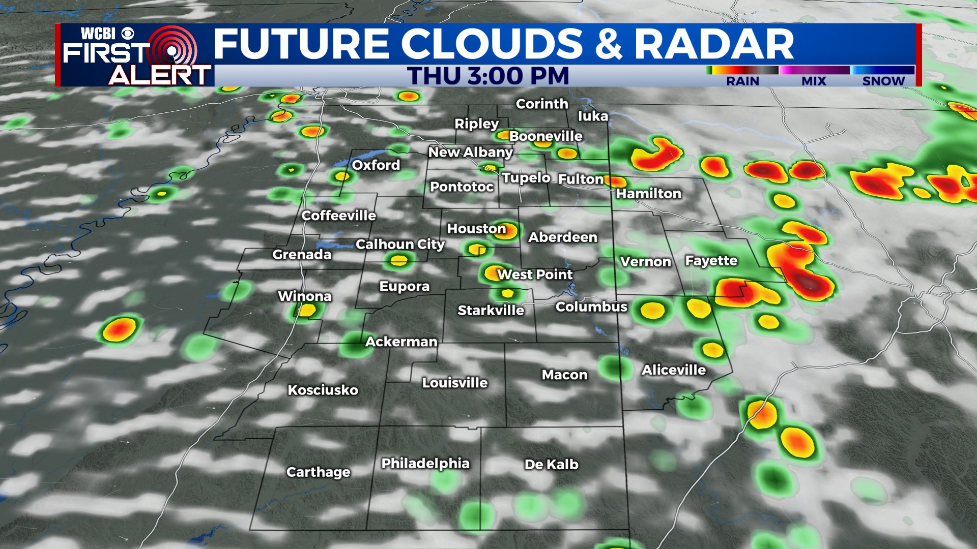
THURSDAY: This is setting up to be hottest day of the next week. Winds will shift to westerly, and this is notorious for bringing in much hotter air to the region. We expect highs well into the 90s, nearing 100° in a few spots. Heat index values will likely approach or briefly exceed 110°. While most afternoon storms will be east of the region, a few could develop into this sparkplug airmass…and potentially become strong to severe late in the day.
FRIDAY/WEEKEND: While heat levels recede slightly, the air will stay plenty hot & humid to allow for occasional showers and storms. Highs will stay in the lower 90s.
NEXT WEEK: More of the same – scattered storms Monday and Tuesday with highs in the lower 90s.


