Level 2 Severe Risk Tomorrow
COLUMBUS, Mississippi (WCBI) – Not much has changed regarding the forecast. Severe storms possible throughout the early morning of your Friday and evening hours. Make sure to keep those ringers on!
THURSDAY NIGHT: It will be a breezy night. Most of the rain and storms will begin after midnight. These storms will be isolated with gusty winds and a potential for a spin-up tornado being possible. Keep your alerts on and stick with us for updates! Lows will be in the 60s.
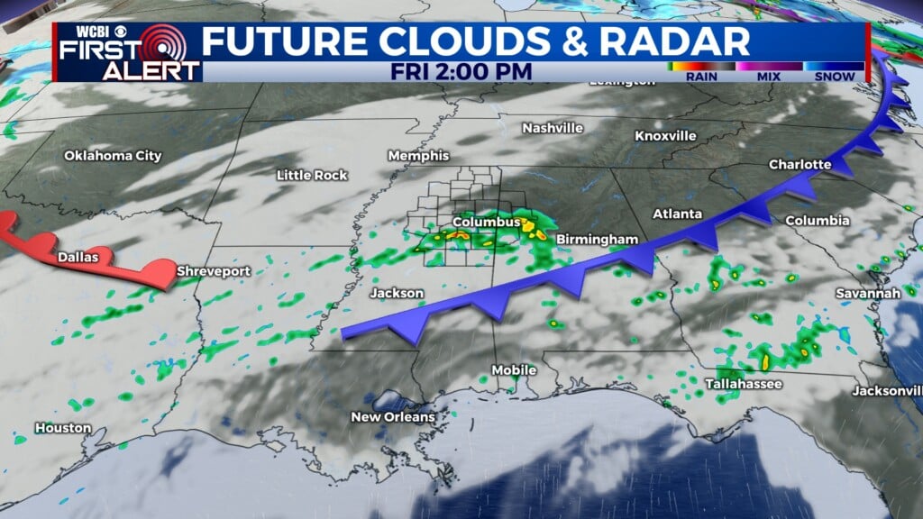
FRIDAY-SATURDAY: Starting your day off with a LEVEL 2 – SLIGHT RISK. The early pre-dawn hours will be the most prominent for severe weather. The timing looks to be around 2AM-8AM. The rest of the day you can expect storms to be on going with a slight break by noon. Heading into the evening hours, the potential for strong to severe storms can not be ruled out. By Saturday morning, storms look to diminish as we head into the late morning. Highs will be in the 60s and lows that night into the 40s. Stay with WCBI for updates as we near this event.


SUNDAY: It will be a dry day with highs in the 40s in the afternoon. Lows will be in the upper 20s to low 30s overnight! Make sure to dress warm as you are heading out Monday morning!