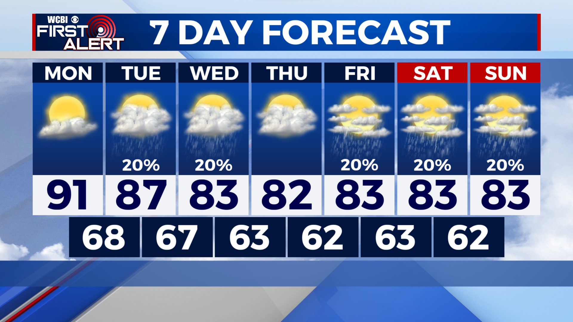
Lower Temperatures Later This Week
COLUMBUS, Mississippi (WCBI) – We have a couple more warm days before lower temperatures arrive for the second half of the week.
TONIGHT: Mostly clear skies and calm winds. Temperatures will dip into the mid-60s overnight.
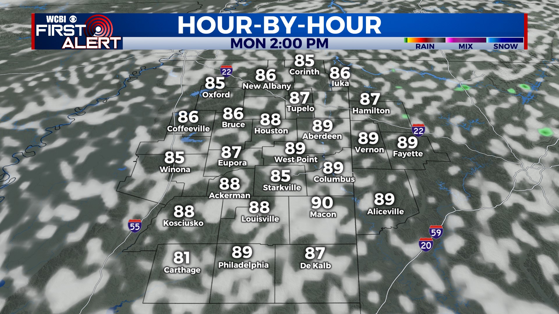
MONDAY: The warmest day of the week. Most places will likely reach 90° on Monday afternoon with a mix of sun and clouds.
TUESDAY: Clouds will increase Tuesday morning as a cold front approaches from the west. Moisture will still be somewhat limited ahead of the front, so we only expect a few showers here and there throughout the day. Mostly cloudy skies will keep temperatures in the upper 80s. Chance of rain: 20%.
REST OF THE WEEK: Clouds behind the front should keep temperatures in the low 80s on Wednesday afternoon! A few spotty showers are possible as well. Thursday looks mainly dry for now with very low humidity and temperatures in the low 80s. Isolated showers are possible again over the weekend as a weak system skirts to our south.