Mainly dry Monday, additional storms return Tuesday
COLUMBUS, Mississippi (WCBI) – After a busy Sunday night, a brief break in the action occurs today. Additional storm chances move in Tuesday.
MONDAY: After Sunday night’s storms, a weak front will bring slightly less hot/humid air to the northern half of the state. This will mean limited to no rain chances during the day as highs stay in the lower to middle 80s.
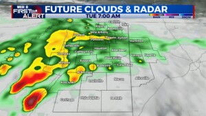
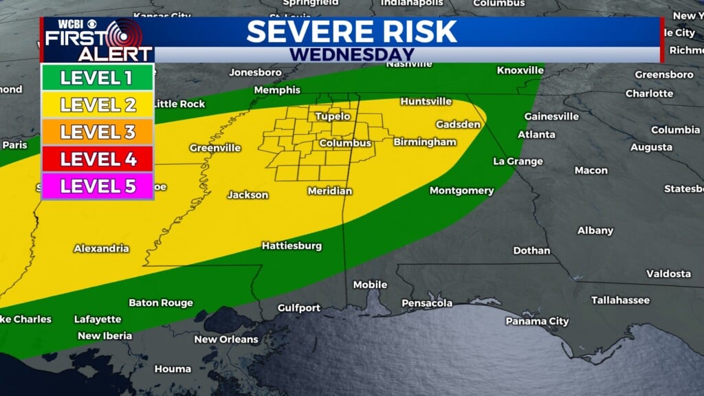
TUE/WED: With a stalled front and increased mid/upper-level winds, waves of storms appear likely in this time frame. Some storms will likely grow severe with large hail and damaging wind the primary concerns, though a brief tornado is also possible. Stay tuned for updates on specific timing of these threats, as this pattern is quite active and timing confidence remains low overall.
THU/FRI: The weather looks to briefly quiet down for the end of the week, though a few storms could stick around Thursday. Friday looks mostly dry at this point, but temperatures will be on the rebound.
WEEKEND: Another round of scattered storms is possible as the mid-June heat & humidity stick around.


