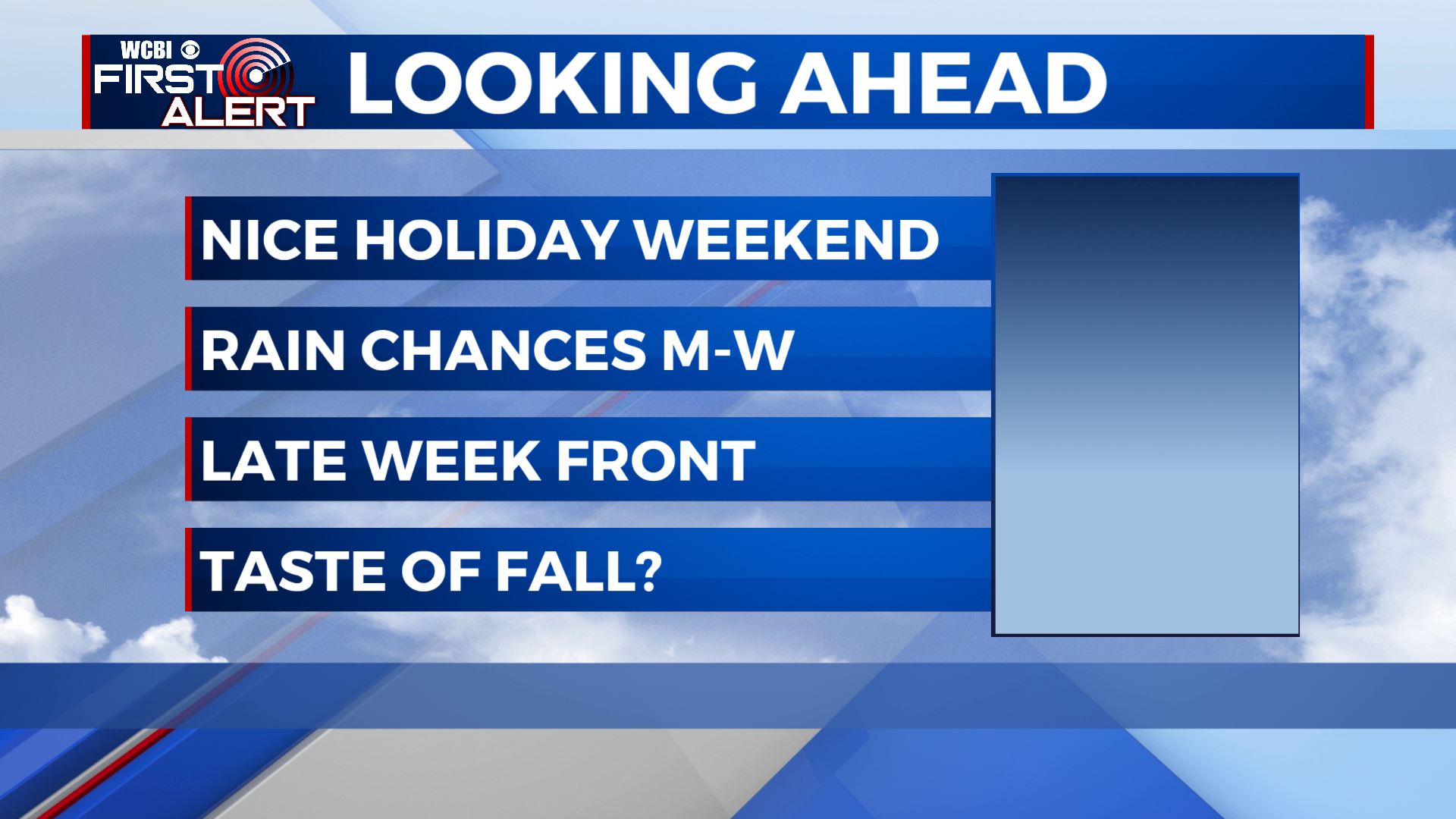
Nice holiday weekend, fairly quiet week ahead
SUMMARY: The Labor day weekend is looking very nice, with highs in the upper 80s under partly cloudy skies. Showers and storms will move through Sunday evening into the overnight hours, with things tapering off a bit for Monday with just a few scattered showers expected. As we start the new work week Tuesday, temps will once again be slightly cooler in the mid 80s. A scattered shower or storm is possible both Tuesday and Wednesday, with Wednesday looking drier. A cold front will push through the area late in the week potentially bringing the first 50s of the season to the area! Either way, it’ll feel a bit more like fall by the end of the week.
SATURDAY: Great weather for the return of college football today, with partly cloudy skies and highs in the upper 80s. Slightly drier air should help it to not feel quite as hot outside!
SATURDAY NIGHT: A clear and refreshing night once again, with clear skies and lows in the upper 60s.
SUNDAY: A bit more humid and warmer for Sunday, with a high right around 90 degrees. Skies will be partly cloudy most of the day, with a few late day storms possible.
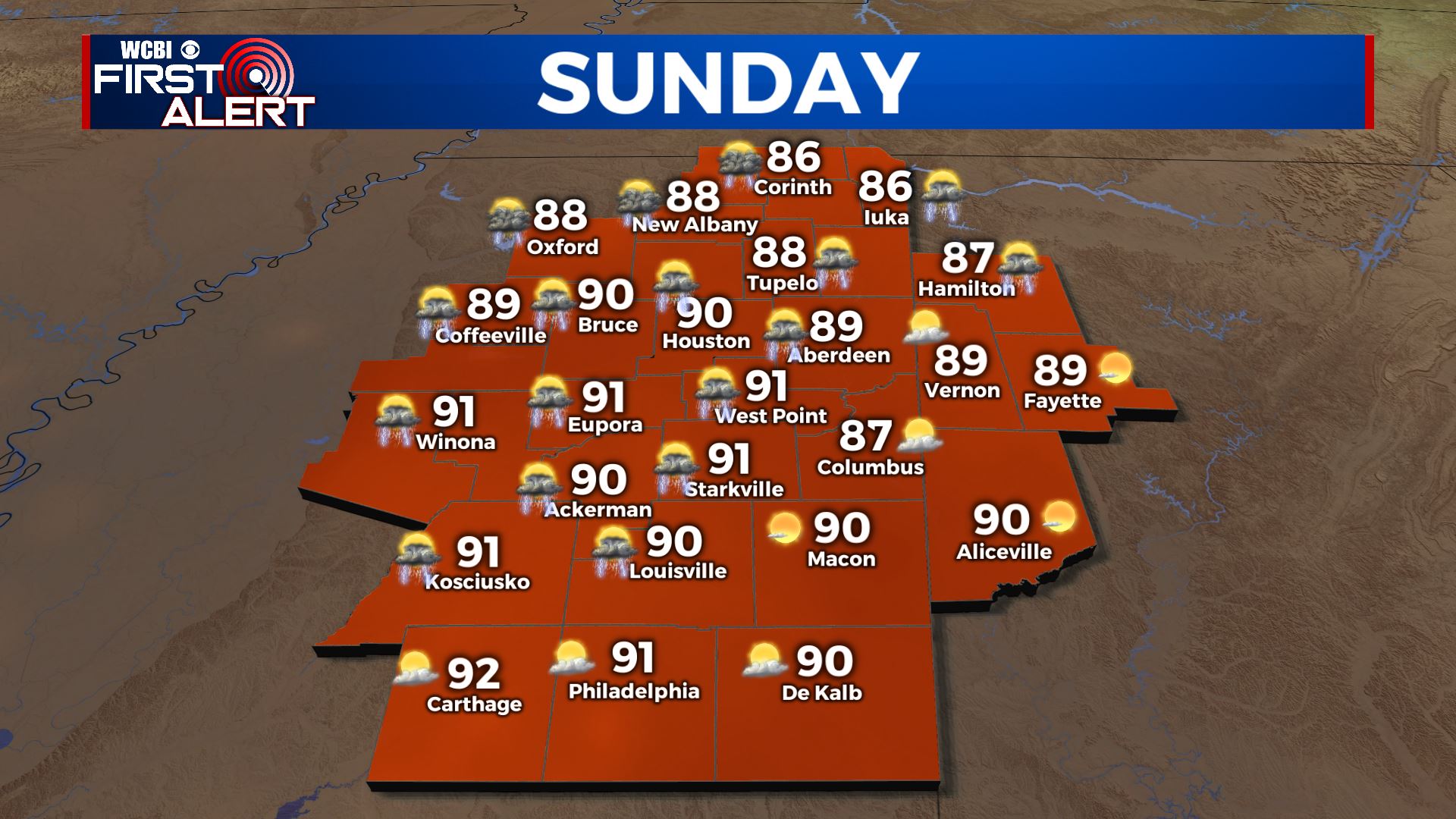
SUNDAY NIGHT: More widespread showers and storms move into the area Sunday night. Muggy and mild, with a low near 70 degrees under mostly cloudy to cloudy skies.
MONDAY TO FRIDAY: Showers and storms taper off for Monday, with a few lingering showers and storms through the day. Slightly cooler in the mid 80s. Tuesday looks drier, with isolated storm chances in the afternoon and a high in the mid to upper 80s. Wednesday will only have a stray shower or storm, with a high approaching 90 degrees under partly cloudy skies. A cold front will pass through the region into Thursday, with highs several degrees cooler in the low to mid 80s and lows in the upper 50s or low 60s. It’ll feel great outside and will be the first widespread taste of fall for the season!
TROPICS: Thankfully things are looking calm here tropics wise for the near future. After Ida, we all could use a break! There is an area of disturbed weather that may develop this week in the gulf, but models currently keep it away from here. As always, we’ll be watching!
CONNECT WITH @WCBIWEATHER ON TWITTER, FACEBOOK AND INSTAGRAM!