Nice Tuesday before colder air moves in mid-week
COLUMBUS, Mississippi (WCBI) – Another nice day is in store Tuesday before another front brings another shot of colder air Wednesday. We’re also watching for storms on Saturday.
TUESDAY: Similar to Monday, highs will be right back in the low 60s with plenty of sun and breezy westerly winds up t0 20-25 mph.
TUESDAY NIGHT: The wind will change directions overnight thanks to an earlier frontal passage, and this will eventually usher in some colder air. Northwest breezes could stick around overnight, creating wind chills near or below freezing. There’s also a chance of low clouds developing in convergent northwest low-level flow, which could offset overnight cooling for some.
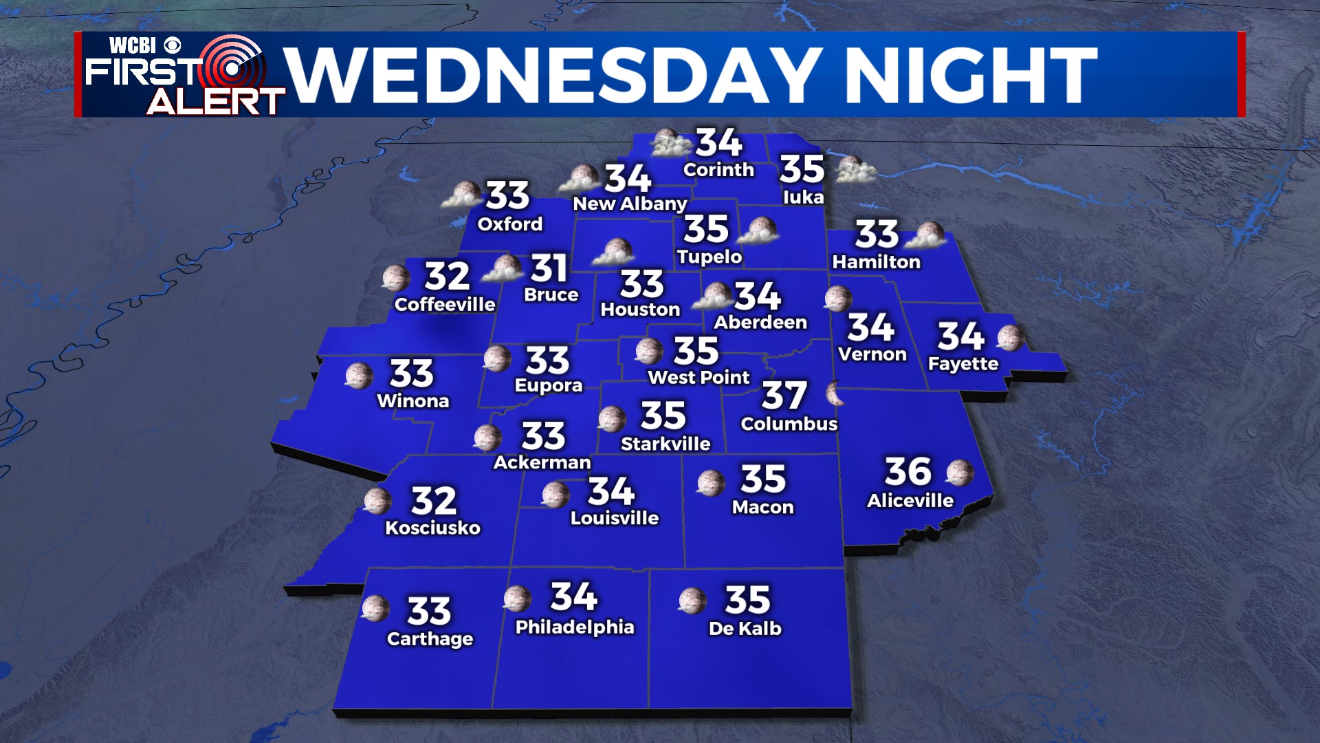
WEDNESDAY: Expect a gradually clearing sky with highs only managing the lower 50s. Some sports in the northeastern corner of the state are likely to stay in the 40s for highs!
THU/FRI: Temperatures will start out in the 20s Thursday morning but recover nicely by afternoon. In fact, the 60s should be back Friday.
WEEKEND: We’re still watching a powerful storm system set to impact the region Saturday into Saturday night. A strong front, plenty of shear, and at least some storm “fuel” will mean the potential for strong to severe storms. Timing is still uncertain, just stay tuned for updates as we go forward! The storms should be out Sunday.


