Not as hot, but daily rain and storm chances return
COLUMBUS, Mississippi (WCBI) – A cold front will move through late Saturday and knock afternoon highs back into the low 80s. However, a pattern change will bring daily rain and storm chances back to the forecast.
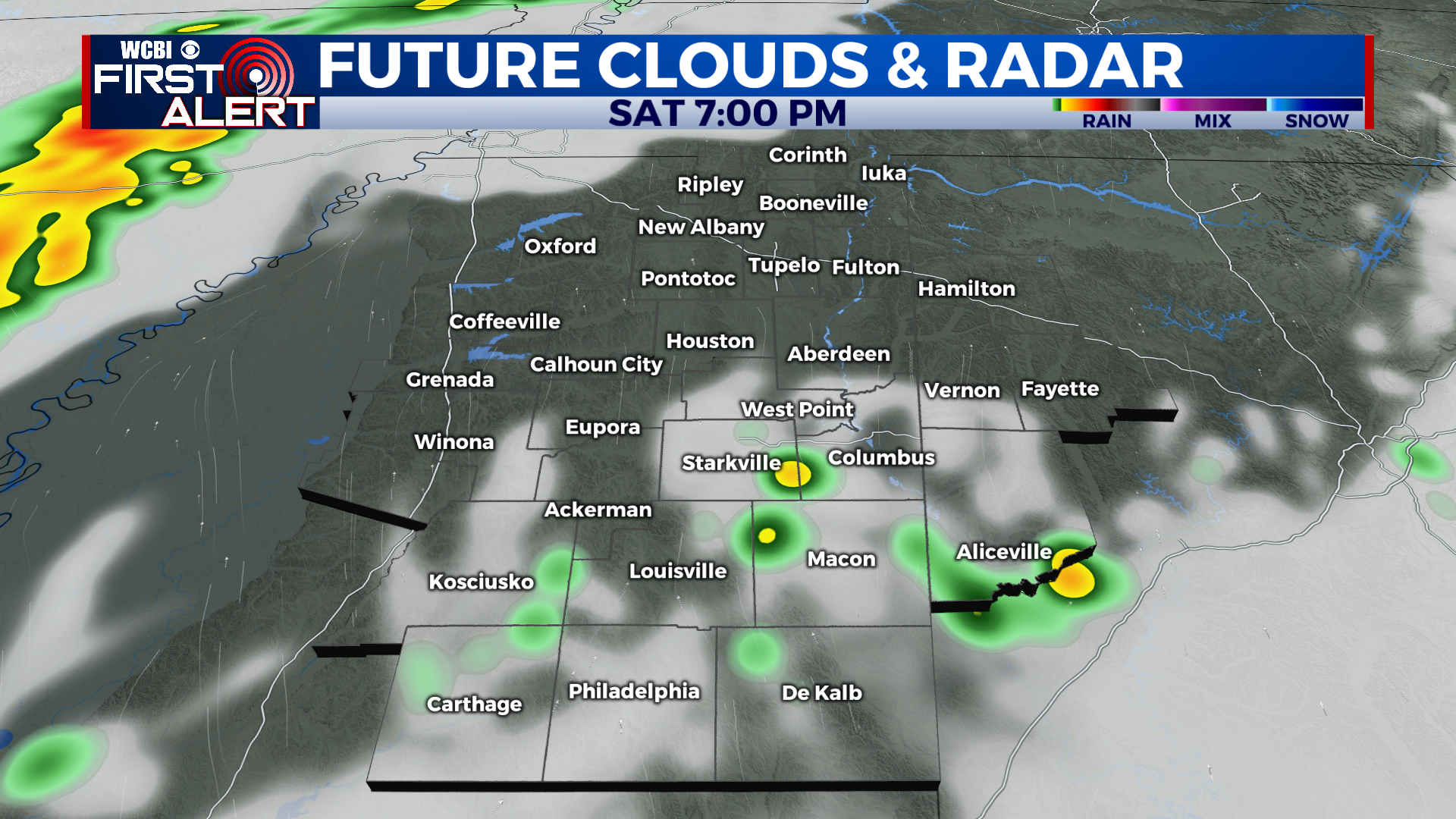
SATURDAY: Hot! High near 92 degrees. We’ll see two rounds of storms today. Isolated pop-up storms are possible later this afternoon, then another round moves in closer to midnight tonight. The severe weather risk is low, but not zero. The entire region is under a level 1 out of 5 “marginal” risk. Heavy rain, gusty winds, and small hail will be possible in the strongest storms. Chance of rain: 40%. Here’s what the radar might look like around 7 PM this evening:
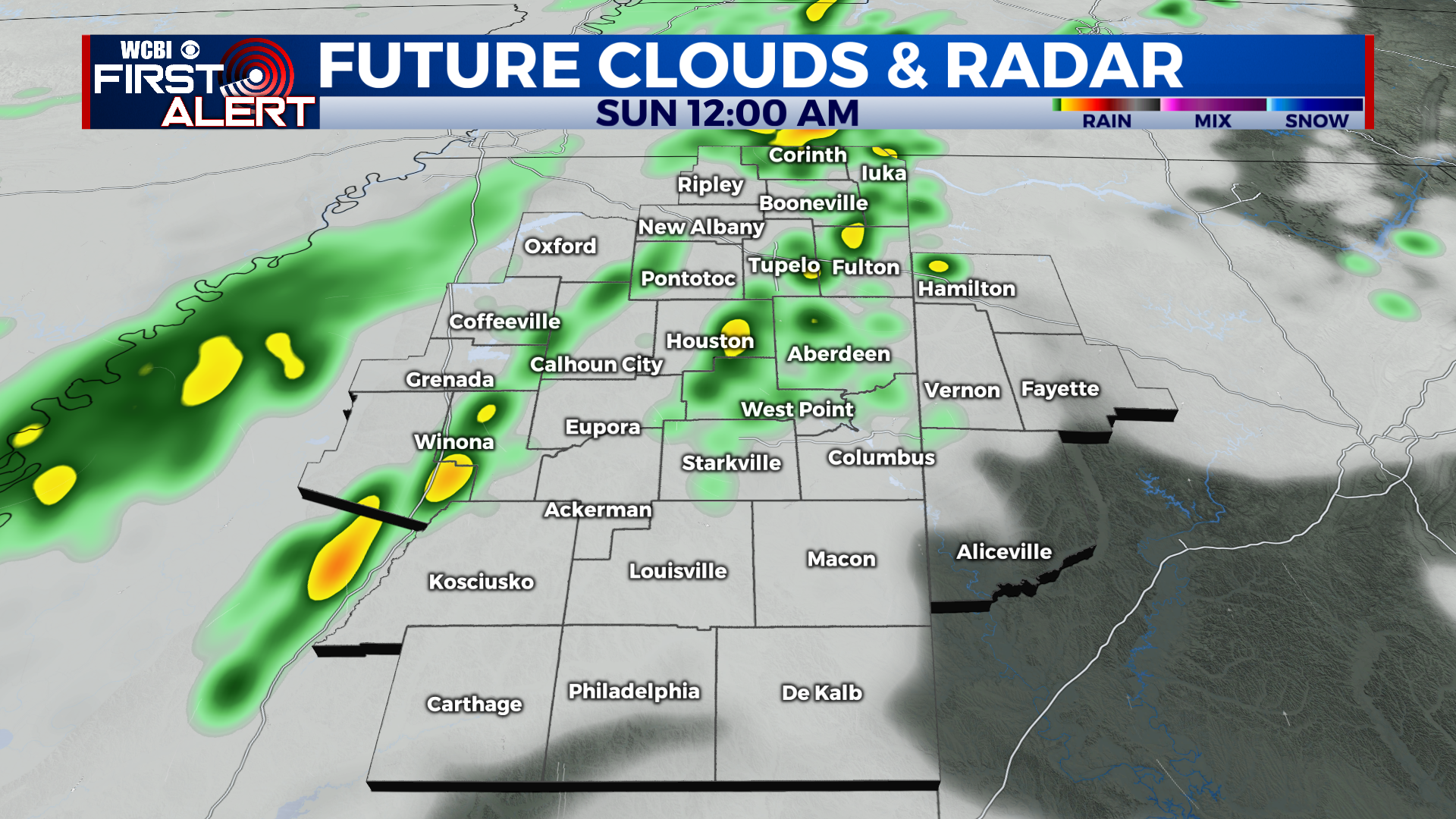
SATURDAY NIGHT: The 2nd round of rain and storms moves in. A cold front will push through behind the storms, so expect breezy conditions. Low near 69 degrees. Chance of rain: 60%. Here’s what the radar might look like around midnight tonight:
SUNDAY: Scattered storms possible all day. Chance of rain: 60%. Highs will be about 10 degrees cooler thanks to that cold front. High near 81 degrees.
WEEK AHEAD: Daily storm chances. It won’t be a washout all week, but expect multiple rounds of rain and storms. Afternoon high temperatures will be in the low 80s, with overnight lows in the mid to upper 60s. Friday looks to be the next completely sunny and dry day. Have a great weekend!