Quick cool down
COLUMBUS, Mississippi (WCBI) – The cold front came through and QUICKLY cooled conditions off late this morning. The next few days will remain cool, before trying to warm up by the weekend.
WEDNESDAY NIGHT: Colder air behind the front this morning will have temperatures continuing to drop into the 30s. In the northern portions of our viewing area, overnight lows could fall close to freeze or below. The gusty winds will calm by the late night hours.
THURSDAY: Staying chilly, as high temperatures will only be reaching into the middle 50s. Sky conditions will continue as mostly cloudy, building back to overcast by the evening. Most of Thursday stays dry, with a greater chance of seeing some late night showers going into Friday. Overnight low temperatures drop into the low to middle 40s.
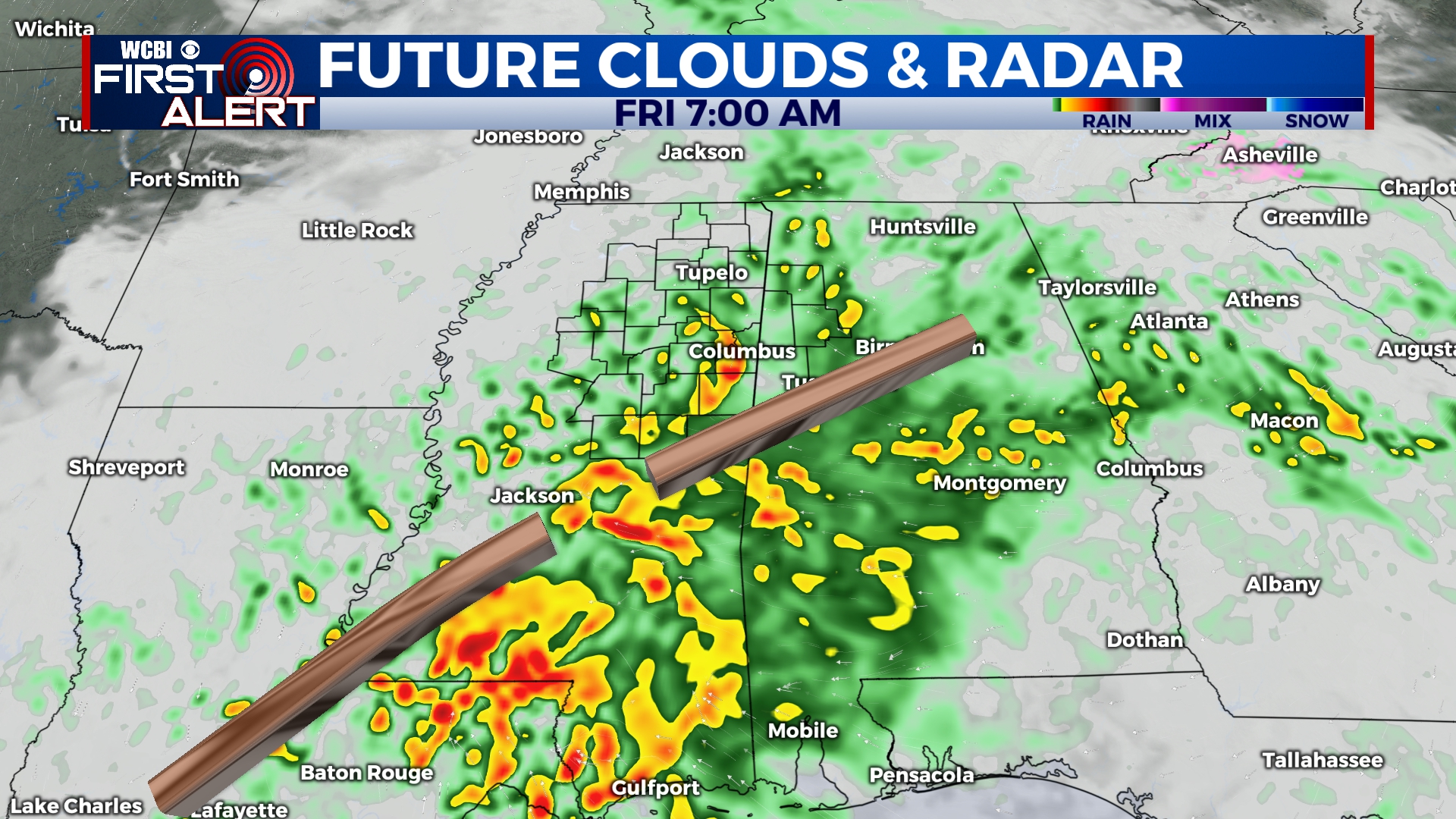
FRIDAY: High temperatures maintain in the middle 50s. Overcast sky continues with a heavier chance for rain throughout the end of the week. Slightly more tolerable overnight low temps, in the upper 40s to lower 50s.
WEEKEND: Warming up some! Temperatures will increase back into the upper 60s and low to middle 70s. Drier conditions on Saturday, before rain returns late Sunday. Cool to mild overnight lows, within the 50s both nights.