Rain and storms stay likely this week
COLUMBUS, Mississippi (WCBI) – Another week of active weather is in store. Daily rain and storm chances will continue, and some storms will have potential to be severe.
MONDAY: Expect a mixture of clouds and sunshine ahead of a front moving in for the afternoon hours. Highs will top out in the 90s with heat index numbers between 105-115° for most. This “power keg” atmosphere will once again fester a threat for locally intense storms after lunch, potentially lasting into the evening hours into parts of central MS. Thankfully, the greatest coverage of severe storms today should be over central Alabama east/northeast across the Appalachians.
MONDAY NIGHT: Storms will eventually weaken, but new storms are likely to develop after midnight along the stalling, aforementioned frontal zone.
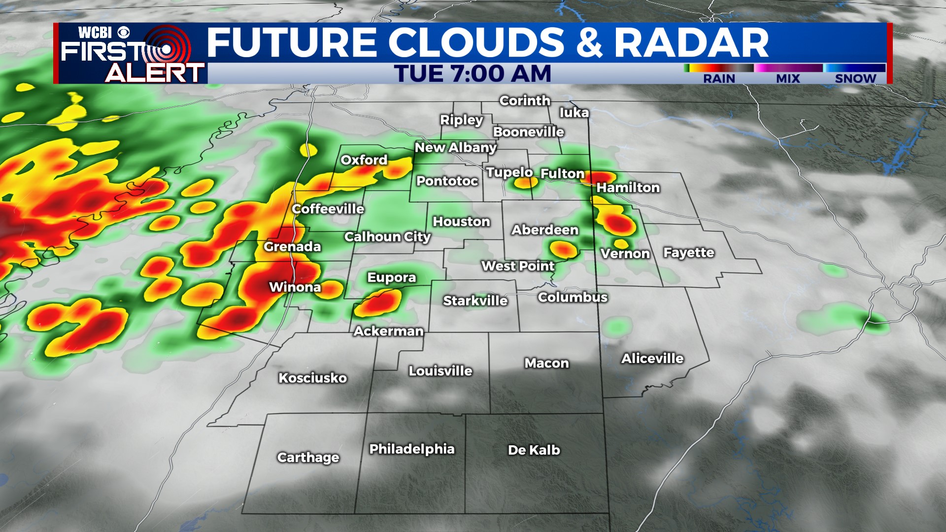
TUESDAY: Overnight storms will continue most of the day, but since the air won’t be nearly as hot, non-severe storms and areas of steady rain are more likely. Highs should hold in the 80s, greatly reducing any severe weather concerns.
REST OF WEEK: A return to more “usual” August heat in the midst of an unsettled weather pattern means more storms each day. Depending on timing, some storms will likely become severe along the way with damaging wind potential, so stay tuned for more specifics!


