Rain is not over yet
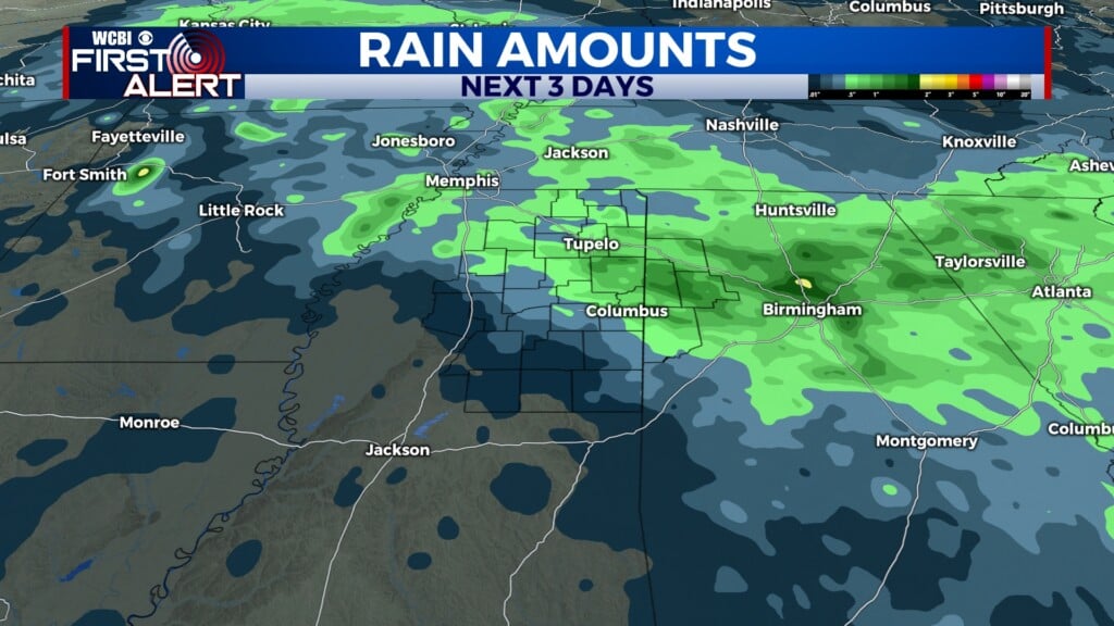
COLUMBUS, Mississippi (WCBI)- The chance for rain has not ended yet. More rain will fall overnight and again on Sunday. Temperatures are going to remain tolerable through the end of the week and into the weekend.
THURSDAY NIGHT: A cold front will be moving across northern Mississippi late tonight and into early Friday morning. A few storms may be embedded within the line of showers. There is a very low risk of any severe weather occurring tonight. However, low risk does not mean zero. Make sure to be weather aware just in case. Temperatures tonight will be in the low to middle 50s.

FRIDAY: Rain will continue moving off to the East and SE throughout Friday morning. By the afternoon, rain will dry out and cloud coverage will become much lighter. High temperatures will make it into the upper 50s and lower 60s. With a clearer sky, temperatures will drop into the upper 30s overnight.
WEEKEND: Temperatures will continue to be comfortable, in the middle in the middle 60s and lower 70s. Saturday will be partly cloudy during the day. Cloud coverage will build during the late afternoon and evening, as the chance for rain increases overnight and into Sunday. Sunday will have the chance of seeing showers and storms. Some of the storms could produce severe weather if they mature enough. Overnight temperatures during the weekend will drop from the middle 50s to the lower 40s.
NEXT WEEK: Temperatures will be cooler for the first couple days of the week, in the 50s. High temperatures will warm back up through the rest of the week. Sky conditions are expected to mostly clear to partly cloudy. Perfect chance to get outdoors and soak in some sun! Overnight temperatures are going to push into the cold category, falling into the 30s the first couple of nights. There is a risk for some frost Tuesday and Wednesday mornings.