Rainy, humid weather across the state this week
SUMMARY: Hurricane Nicholas made landfall early Tuesday along the TX coast near Matagorda. Rain chances will accordingly remain in the forecast for the next 5-7 days across the twin states thanks to tropical moisture from Nicholas.
TUESDAY: Expect persistent clouds and occasional rain for much of the day with perhaps a few breaks in the afternoon. Daytime highs will average out near 80 degrees, keeping in mind some spots may jump to the middle 80s if sufficient cloud breaks develop while others hold in the 70s.
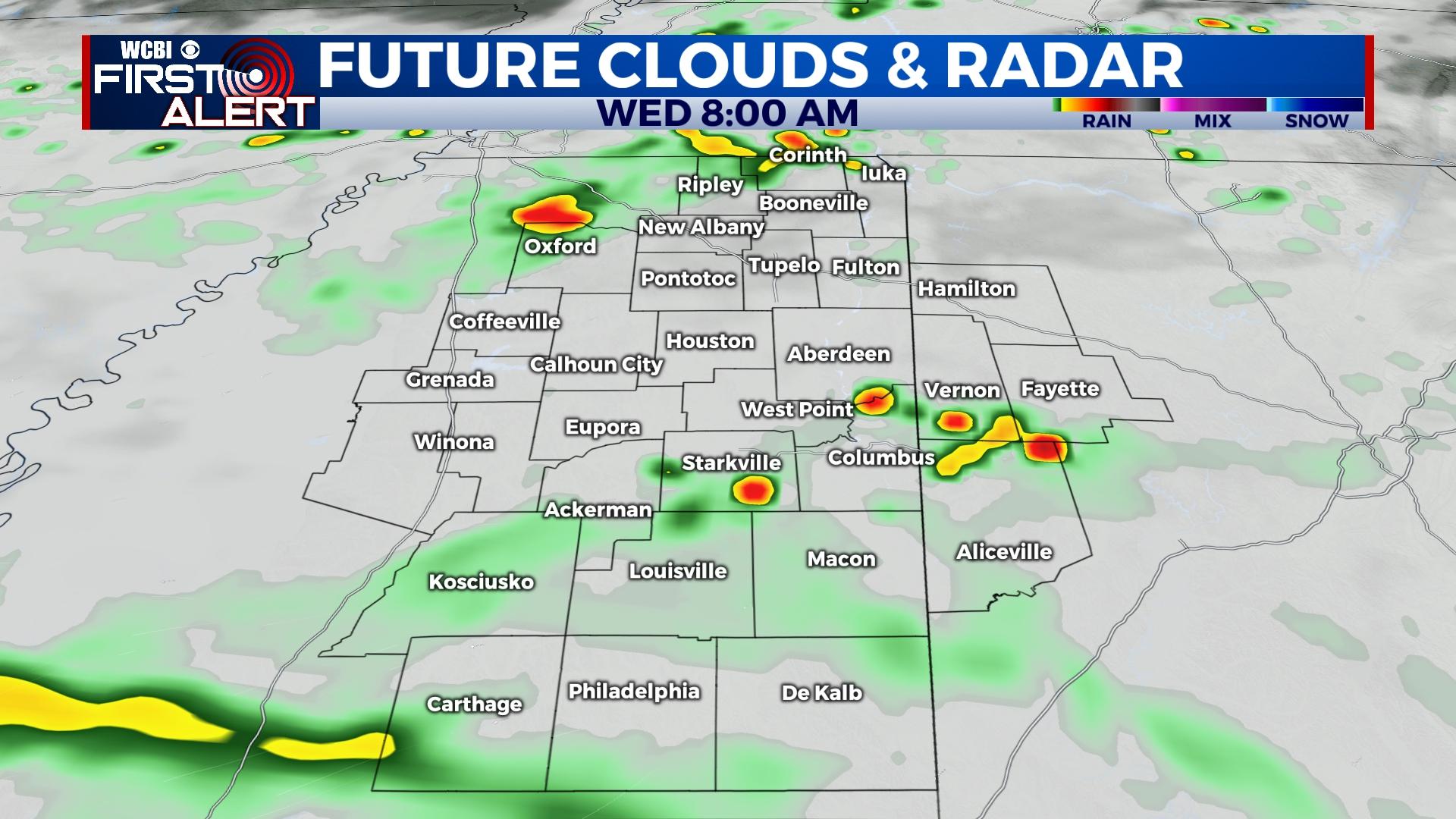
WEDNESDAY: An easterly wind will develop on the north side of Nicholas’s circulation, and this will keep some modified drier air into the region. This will undercut the threat for widespread heavy rain, but on/off rain will be likely much of the day with highs holding in the 70s thanks to widespread clouds/showers.
THURSDAY/FRIDAY: The remnant circulation of Nicholas is now forecast to practically stall/weaken over central Louisiana, and southerly winds on the east side of the system will continue to send tropical moisture into the region. Showers and eventually a few storms on Friday will remain likely each day with daytime highs slowly moderating back into the lower 80s.
WEEKEND: While no washouts are expected, rain chances will continue. Early projections for football in Oxford and Memphis will hold at least a 40% chance of rain during the day, and this includes Columbus for Market Street as well.


