Relatively quiet pattern continues for north Mississippi
COLUMBUS, Mississippi (WCBI) – Near average temps will continue through mid-week. Warmer weather takes hold for the weekend and into most of next week.
WEDNESDAY: We’ll see cloud coverage increase at times, but there will still be some sunshine as well! Highs will stay in the middle to upper 70s as a weakening front approaches from the north. It may kick off a handful of spotty showers this afternoon, but most places will stay dry.
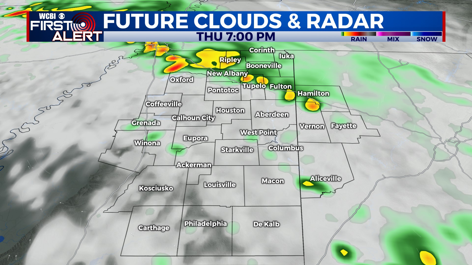
THURSDAY: Wednesday’s front will remain draped across the area as a stationary boundary, and we could see a few pop-up showers or storms in the afternoon. Without a more pronounced focus, we don’t expect many places to get doused with downpours.
FRIDAY/WEEKEND: Bring on the spring-time temps! We’ll see highs return to the 80s Friday afternoon through the weekend. We don’t expect much rain either, so get out and enjoy some pool time! Nashville’s weather looks similar as well if you’re heading up to watch the Diamond Dawgs take on Vandy.
NEXT WEEK: We’re still watching for some storm potential Monday as the leftovers of an active Plains pattern inch closer to the region. A few showers could linger into Tuesday as well.


