Several rounds of rain
COLUMBUS, Mississippi (WCBI) – While a few scattered showers began falling today, most of the rain will hit during the middle of the week. Temperatures remain above average.
TUESDAY NIGHT: Conditions will be staying mostly dry this evening. Heavy amounts of cloud coverage will maintain across Mississippi. A few showers may start back up after midnight closer to day break. Temperatures tonight will only drop into the upper 50s.
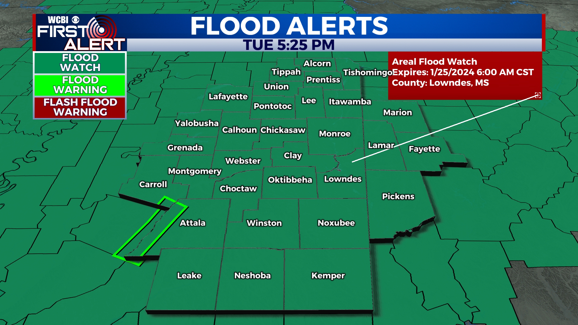
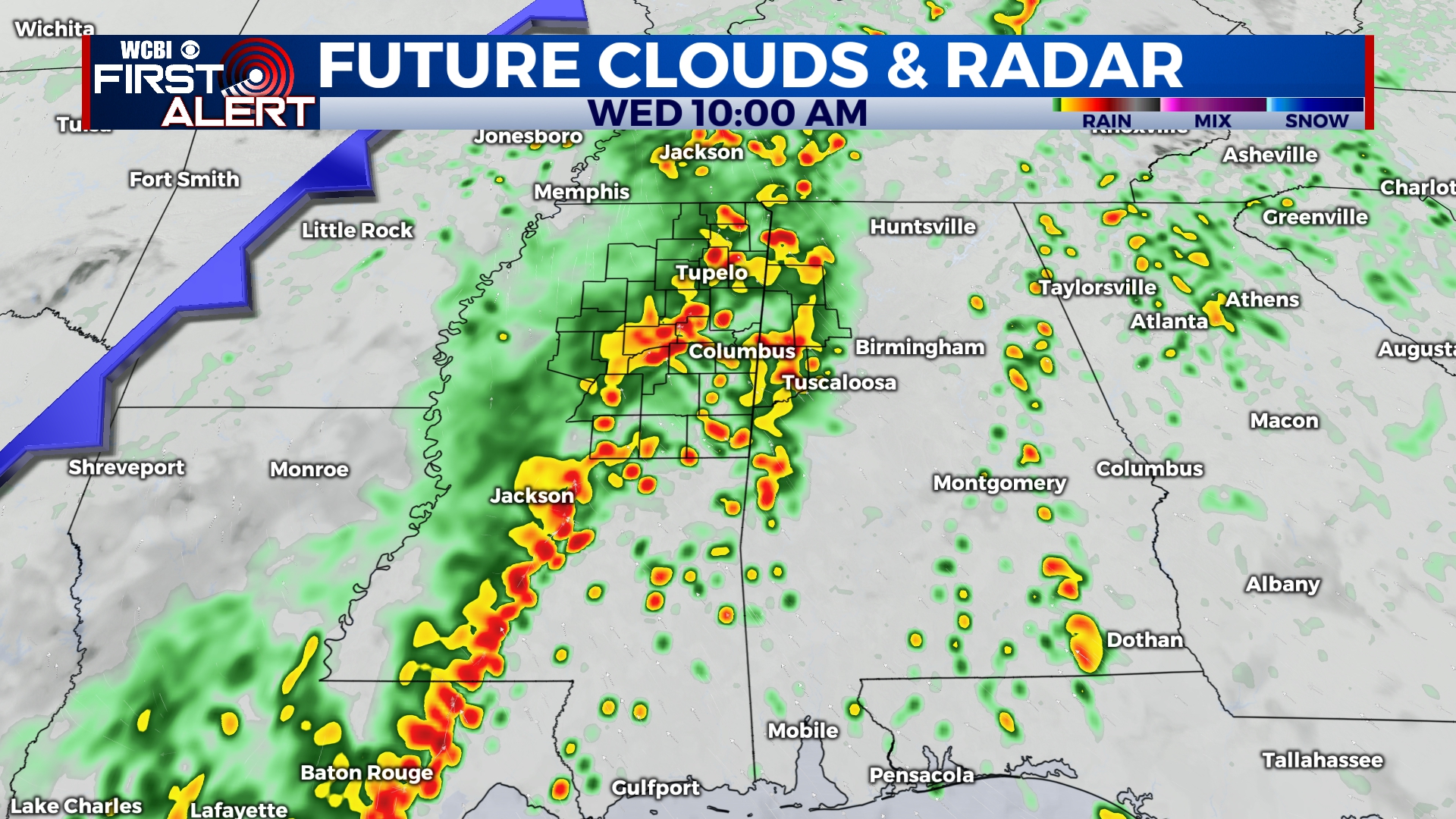
WED/THUR: A FLOOD WATCH has been issued for the entire region for this time frame. Several rounds of heavy rain and some thunderstorms will stick around. Rain totals are likely to add up to 3-6″ with locally higher amounts. This will bring a significant risk of flooding to the region. Be ready to act if flash flood warnings are needed. REMEMBER, turn around, don’t drown! It’ll also be unseasonably warm with highs in the upper 60s. Overnight lows will be in the upper 50s to lower 60s.
FRIDAY: Slightly drier. There will be a lower chance of seeing scattered rain for the end of our week. Heavy cloud coverage continues though. Warm and humid, as high temperatures return to the middle 60s. Low temperatures drop again into the middle to upper 50s.


