Severe storms possible Friday night
COLUMBUS, Mississippi (WCBI) – Another round of strong to severe storms is possible Friday evening ahead of a briefly calm weekend.
FRIDAY: Mostly cloudy, warm, and breezy with highs nearing 80 degrees for most spots. Expect gusty southerly winds of 20-30 mph at times through the day.
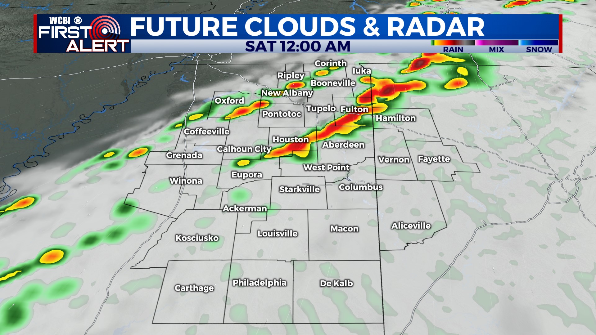
FRIDAY NIGHT: Showers and strong to severe storms are expected to move into northern parts of Mississippi near and after sunset. These storms will be capable of all severe hazards, including hail, damaging winds, and tornadoes. A stronger-type tornado is possible as well since storms could still be supercellular in nature. Storms are most likely between 7p & midnight.
WEEKEND: The sky will rapidly clear Saturday morning, leaving the day mostly sunny and breezy with highs nearing 80 degrees in the afternoon. A chilly night is on tap as lows drop into the 40s. Clouds increase Sunday afternoon, and a few showers could develop in the evening. A slightly better chance for showers and a few storms exists late Sunday night into Monday morning, but these should remain below severe limits.
NEXT WEEK: Storms should clear out Monday morning, leaving the rest of the day mostly cloudy and increasingly warm & humid. The next chance of locally heavy rain and storms will arrive Tuesday and could last through mid-week. These storms could turn severe at times as well thanks to a powerful trough of low pressure nearby.


