Shower and storm chance back in the forecast
COLUMBUS, Mississippi (WCBI)- Calmer conditions from our Friday will not last long. Clouds and rain chances increase through the weekend and further into next week.
FRIDAY NIGHT: Sky will continue to clear out through the rest of the evening. May even feel a little less humid tonight, as low temperatures fall into the low to middle 60s.
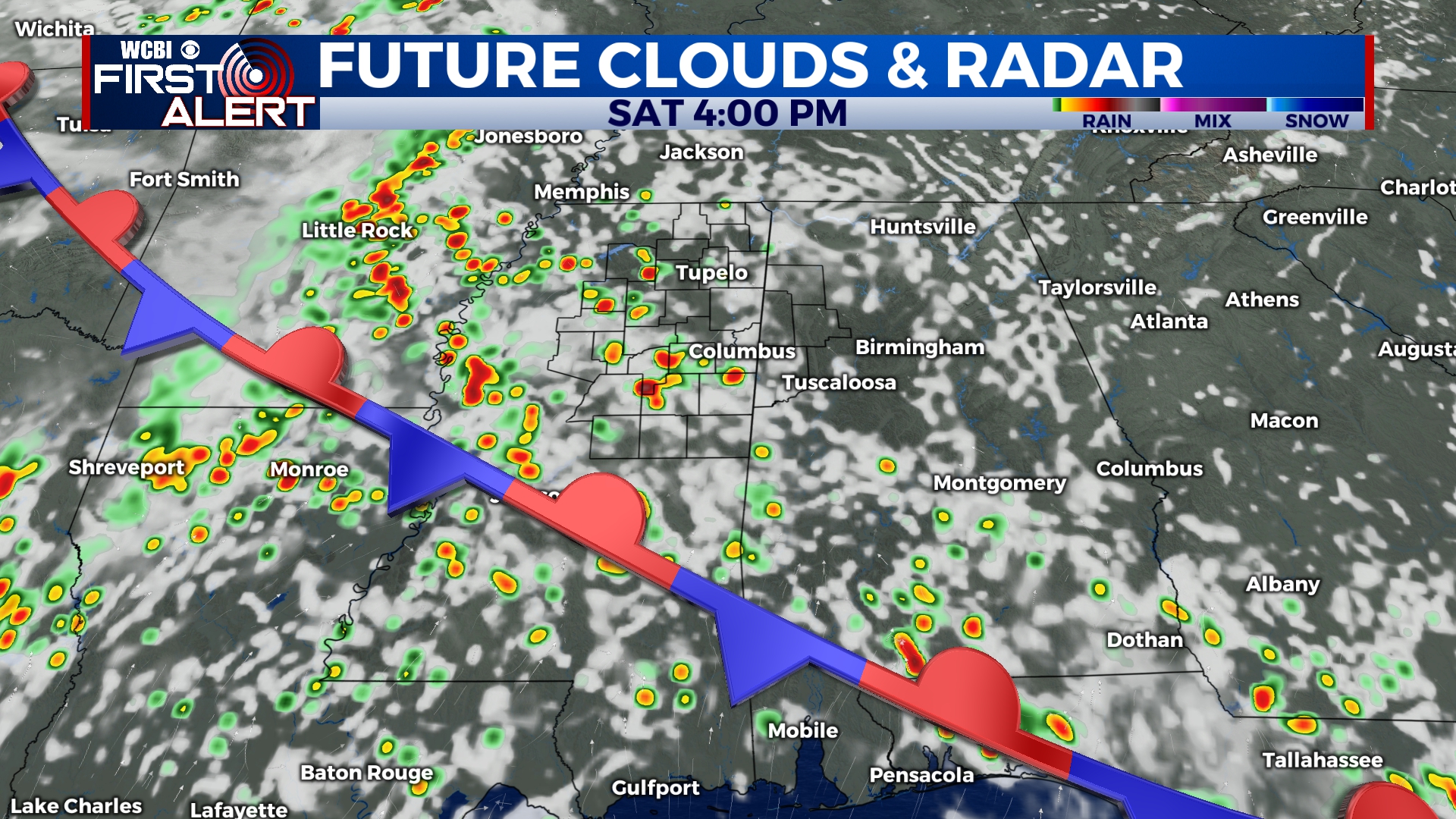
WEEKEND: Temperatures in the upper 80s to lower 90s will continue for Saturday and Sunday. Throughout Saturday morning, clouds will fill back in and across northern Mississippi. By the afternoon, rain chance will increase. Showers and thunderstorms will march across the state from West to East. Clearing out over night allows the next round to move in on Sunday. Sunday has higher chance of having stronger storms moving through. The Storm Prediction Center has placed NE MS between a Level 1 and Level 2 Risk for severe weather. Overnight temperatures will only be in the upper 60s due to the heavy amounts of cloud coverage.
NEXT WEEK: Slightly cooler temperatures for the beginning of the week, but the rain chance sticks around. Currently next week has a 30-40% chance for rain every day. The middle of the week could produced stronger storms, bringing back the severe risk. By the end of the week, highs will be back in the upper 80s and overnight temperatures will be quite warm.


