Soggy, unsettled pattern continues into weekend
COLUMBUS, Mississippi (WCBI) – Above average temperatures and rain chances highlight most of the next seven days.
FRIDAY: Rain will develop into most of central and northern MS through the morning, becoming locally heavy in spots. Showers should taper off/move out by afternoon. Daytime temperatures will range from the 60s to lower 70s.
SATURDAY: The day looks to start dry with patchy fog and widespread cloud cover. By late-day and evening, another round of rain is set to move in from the west. Before the rain arrives, highs should reach the lower 70s.
SUNDAY: Unfortunately, things have trended wetter in recent model runs. Another batch of rain and embedded storms is likely to move through the area…especially from morning to early afternoon. Things look to dry out temporarily by Sunday night.
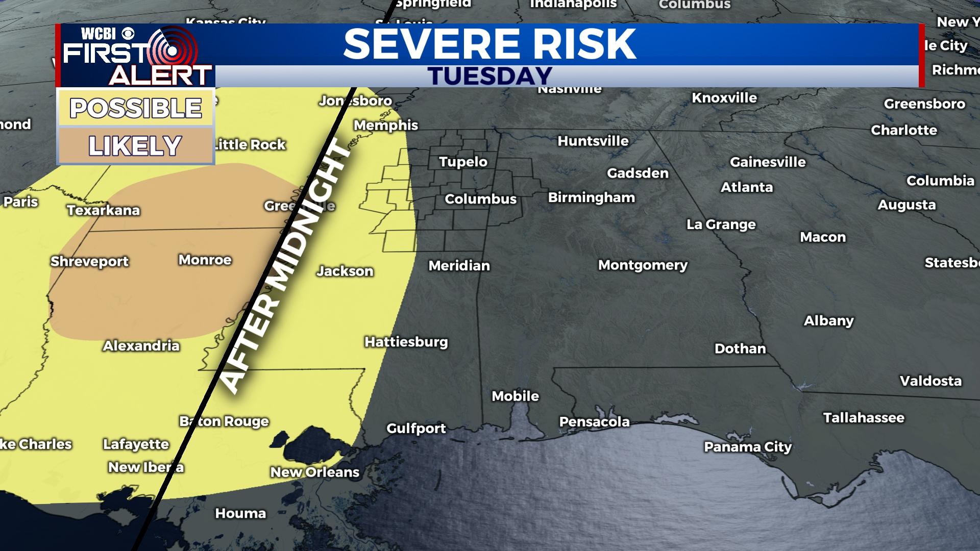
NEXT WEEK: Monday starts the week mostly dry, but warmer, more humid air will make a return by Tuesday in advance of another strong front. For now, trends suggest most of Tuesday and Tuesday evening will be dry. Heavy rain and potentially strong storms settle in Wednesday, but the severity of the storms remains somewhat in question, especially for areas north of Hwy 82. For now, the highest severe weather potential looks to set up along the MS River eastward along/south of US 82 Wednesday. Stay tuned for further updates! Behind this front, substantially colder air moves in Thursday & Friday.