Staying hot & humid, afternoon storms stay possible
COLUMBUS, Mississippi (WCBI) – Temperatures stay near average through the end of the week w/afternoon storms staying possible. Some days may be a bit more active compared to others.
WEDNESDAY: Expect a mixture of clouds and sunshine with highs averaging out at 90 degrees in the afternoon. The latest data point to a slightly lower coverage of storms relative to previous days; still, we expect scattered showers and a few storms in the afternoon and evening hours. Some could persist into the late night hours but should be isolated.
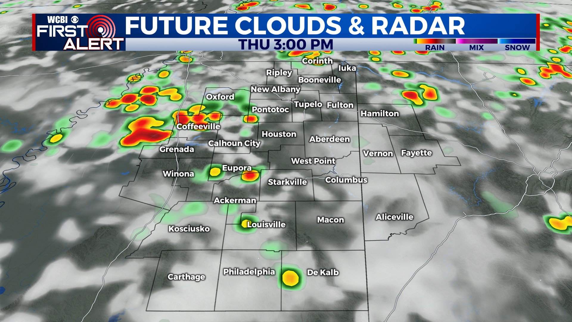
THURSDAY: Variably cloudy, hot, and humid with scattered storms likely in the afternoon. Highs near 90°.
FRIDAY: Clouds linger through the day, and these could hold highs for most in the upper 80s. Isolated afternoon showers and a storm or two remain possible.
WEEKEND: Saturday still looks relatively inactive aside from a few popcorn storms in the afternoon. We’ll be watching for another potential storm complex Sunday afternoon or evening to move in from the northwest. Confidence of course remains low, but trends are pointing in that direction…stay tuned!
NEXT WEEK: No surprises to the early week forecast. Temperatures stay near 90° with isolated to scattered PM rain/storms.


