Staying warm and hazy Thursday, briefly less humid Friday
COLUMBUS, Mississippi (WCBI – A weak front is set to pass through northern MS late Thursday into early Friday. Briefly nice weather returns Friday before more unsettled weather returns this weekend into next week.
THURSDAY: Expect a mixture of clouds and sunshine with highs in the upper 80s. Haze/filtered smoke will continue at times today and will help to limit rain coverage yet again in the afternoon. Still, a handful of downpours or brief storms are possible in the peak heating hours.
FRIDAY: Clouds may hang around to start the day, but gradual clearing should occur as drier air works in from the north. Highs top out in the middle 80s, and it should feel a bit nicer!
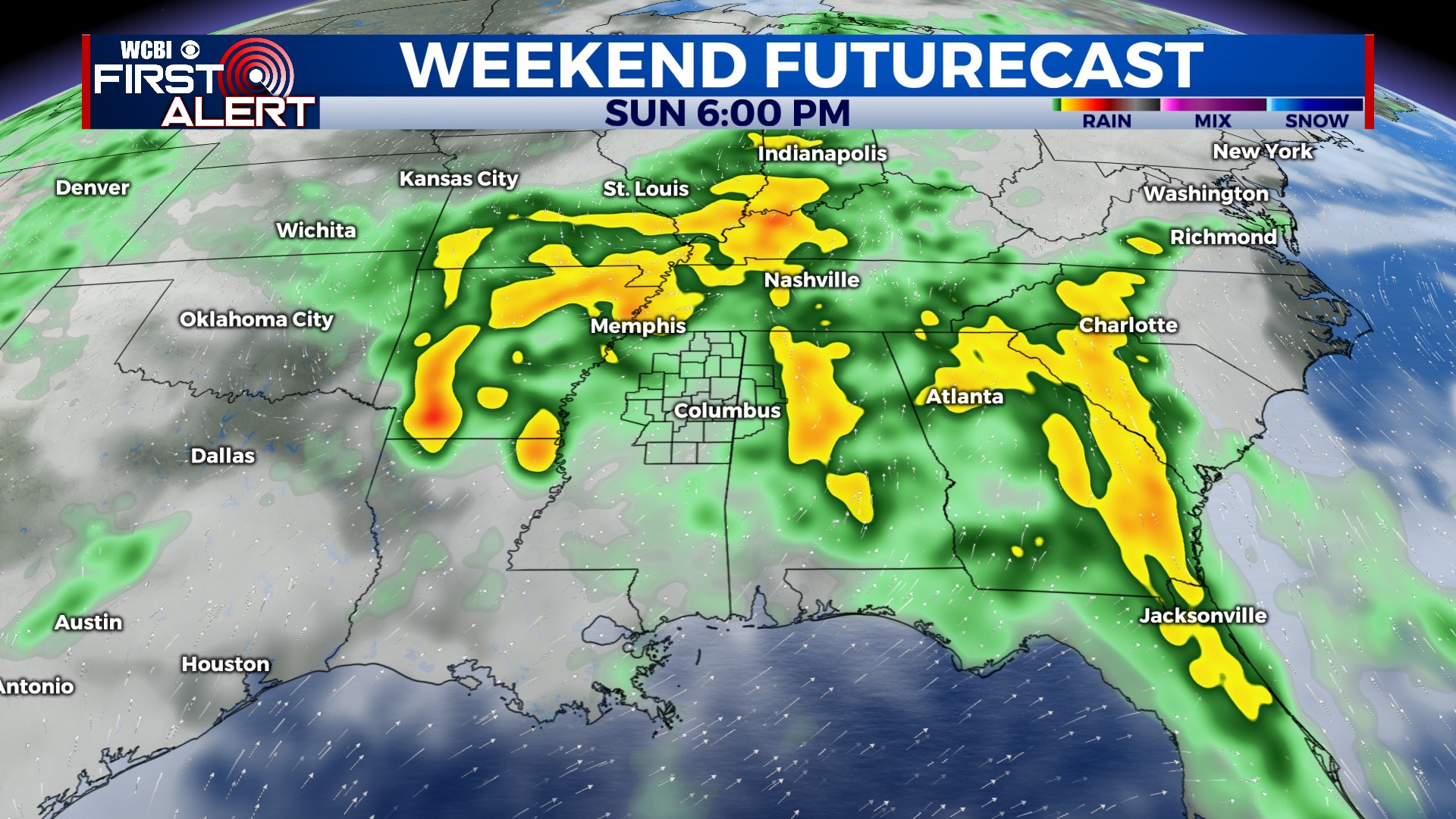
WEEKEND: The heat & humidity come surging back quickly, and there could even be a few showers or storms Saturday afternoon. Signs continue to point toward higher rain chances Sunday afternoon & evening, and some of the storms could become briefly strong.
NEXT WEEK: Unsettled weather looks to stick around with a relatively unseasonably strong jet stream position. This will likely pave the way to additional storm chances Mon-Wed with the possibility of occasional severe weather concerns as well in the form of hail or gusty wind.


