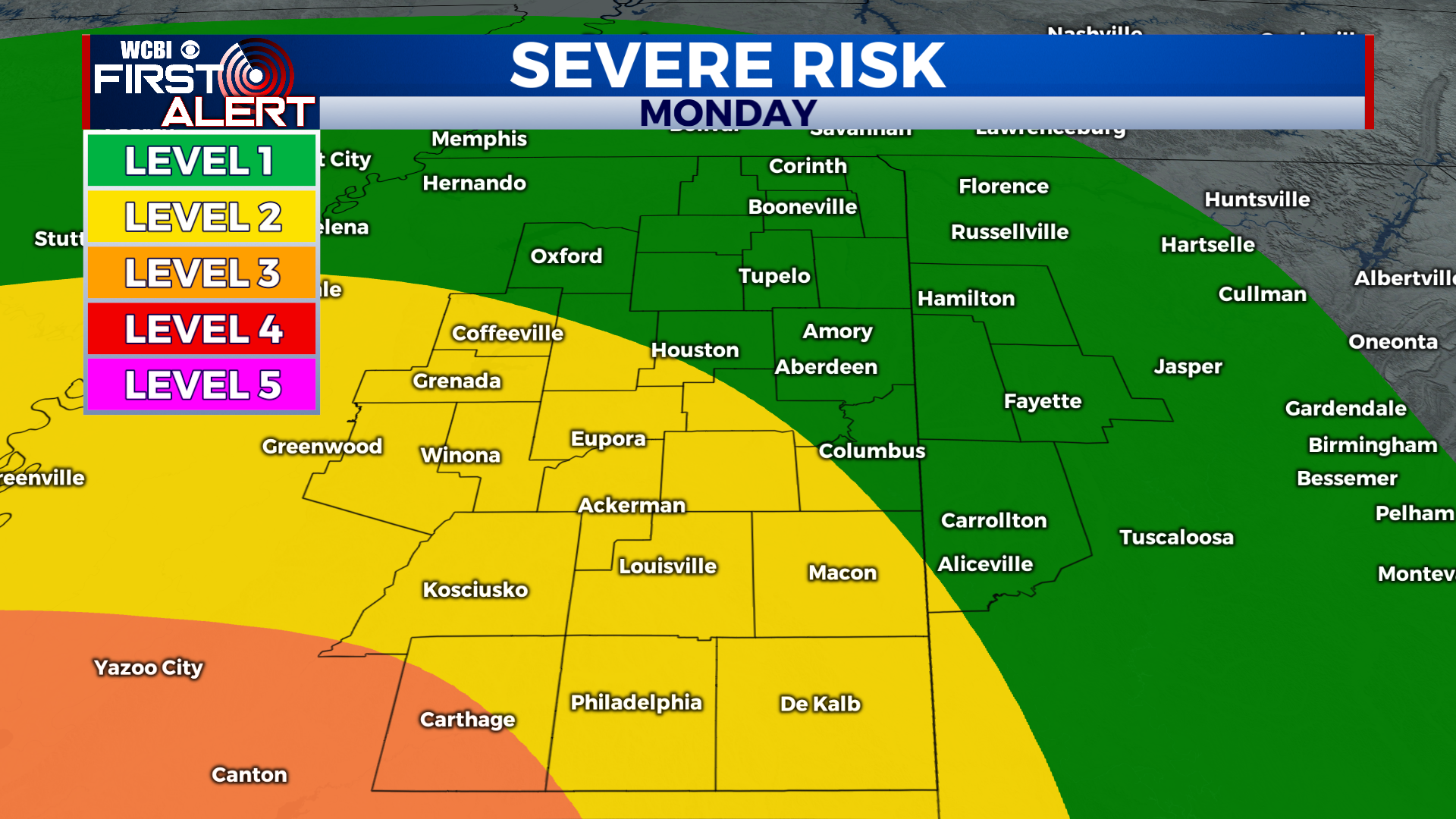
Storm Threat Monday Night
COLUMBUS, Mississippi (WCBI) – Our first big fall storm system will move through the area on Monday night. Severe storms with damaging winds and tornadoes are possible.
TONIGHT: Chilly. Lows in the upper 40s. An isolated shower is possible overnight as clouds build in from the west.
MONDAY STORM THREAT: Chilly in the morning, but it will get warmer and more humid throughout the day thanks to a southerly wind. Highs near 70°. A brief shower is possible during the day, but strong storms won’t arrive until after sunset. Timing is 5pm – 2am. Some storms could be severe with damaging winds and tornadoes. In addition to the severe risk, widespread heavy rain is likely as well. Stay alert and have a plan for Monday night! We’ll be with you, tracking the storms and keeping you updated.
TUESDAY: Isolated showers in the morning behind the front, but most of the area begins to dry out by Tuesday afternoon. It will be cool and breezy with highs in the mid-60s. Winds could gust to 20 mph at times.
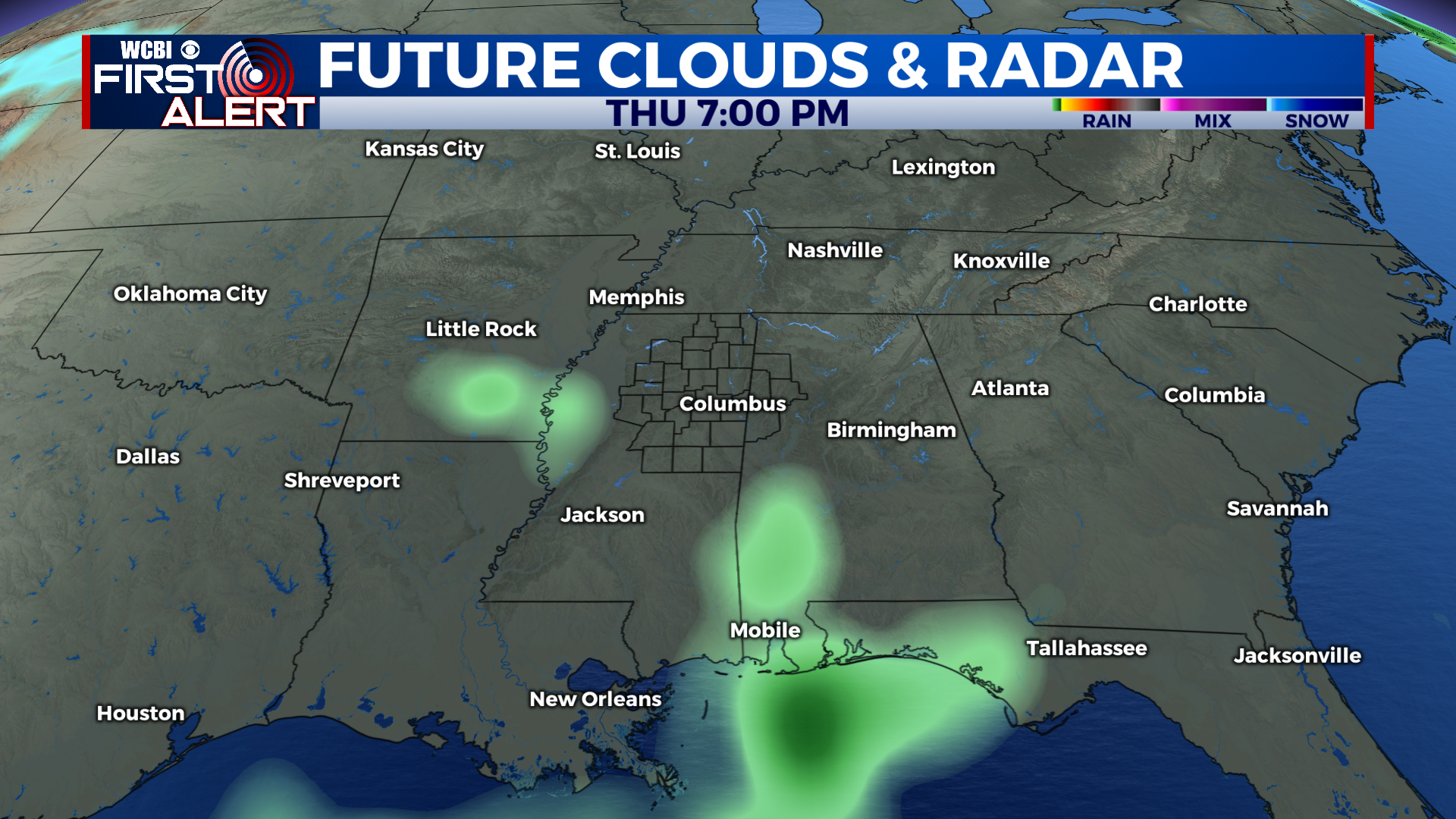
THANKSGIVING: Cool and cloudy with highs in the upper 50s. There could be a few showers on Thursday afternoon, but it won’t be a washout and shouldn’t ruin your Thanksgiving plans.