Storms Return Today for Many!
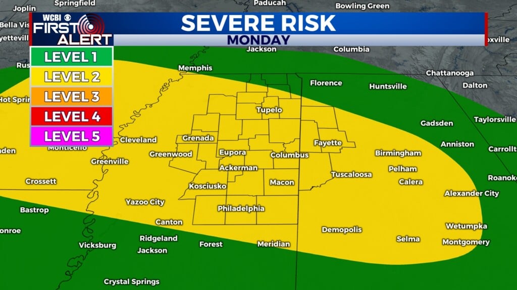
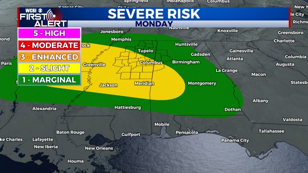
COLUMBUS, Mississippi (WCBI) – Storms are on deck shortly after lunch time for the next few days as an upper level system moves through to the north. Highs increase later this week in to the mid 90s!
TODAY: We should have a period of sun in the early morning before clouds build and swell into storms in the mid morning and early afternoon. Stormy after lunch time, with that activity hopefully ending around dinner time. Highs in the upper 80s to low 90s, very hot and muggy.
TONIGHT: The Perseid meteor shower will peak, but viewing conditions look unfavorable with a cloudy sky overnight and a full moon, which will emit a lot of light blocking the view. Still may be worth it to look! Lows in the middle 70s, so a mild and muggy night. Showers possible.
TS ERIN: Continues to march west, and will strengthen later this week into our first hurricane and potentially our first major hurricane of the season in the Atlantic. The upper level systems moving through will be crucial in breaking down a blocking high pressure in the Atlantic that wants to keep Erin from moving north. Those are the dips in the flow you see on the upper air map. Once that high breaks down, Erin will be able to gain latitude and hopefully stay out to sea. We are keeping a close watch! Still to early to be sure.


