Storms Sunday Night, Then Hot This Week
COLUMBUS, Mississippi (WCBI) – Storms roll through the area Sunday night, and then we’re back to your regularly scheduled heat and humidity next week.
TONIGHT: We have a level 3 risk for severe storms with damaging winds and hail. A Severe Thunderstorm Watch is in effect for the area until 2am. Stay aware as these storms roll through! Low near 71°.
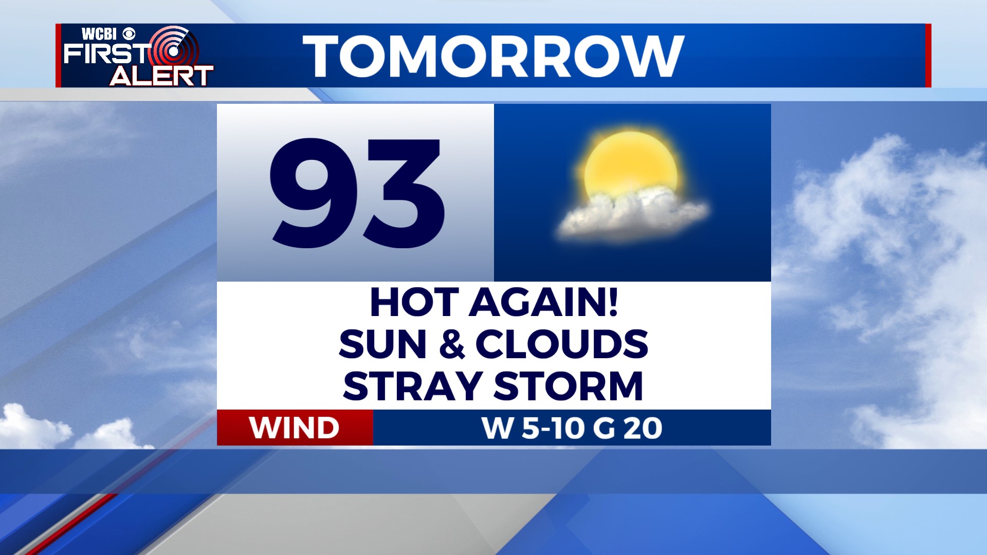
MONDAY: Once again, the big story is heat. Heat Advisories are in effect, and heat indices will be near 110°. High near 93°. Take care of yourself and others. Stay hydrated! We’ll see a mix of sun and clouds. Most of us stay dry, but I can’t rule out an isolated storm for our southern communities in the evening.
TUESDAY: Sunny and hot! High near 94°.
REST OF THE WEEK: Hot and humid! Highs will be in the mid-90s on Wednesday, with a low chance for showers. It’s only getting hotter from there. We’ll make a run at the triple-digits on Thurs, Fri, and Sat! Stay cool this week!