Sunshine returns, blast of colder air by Christmas
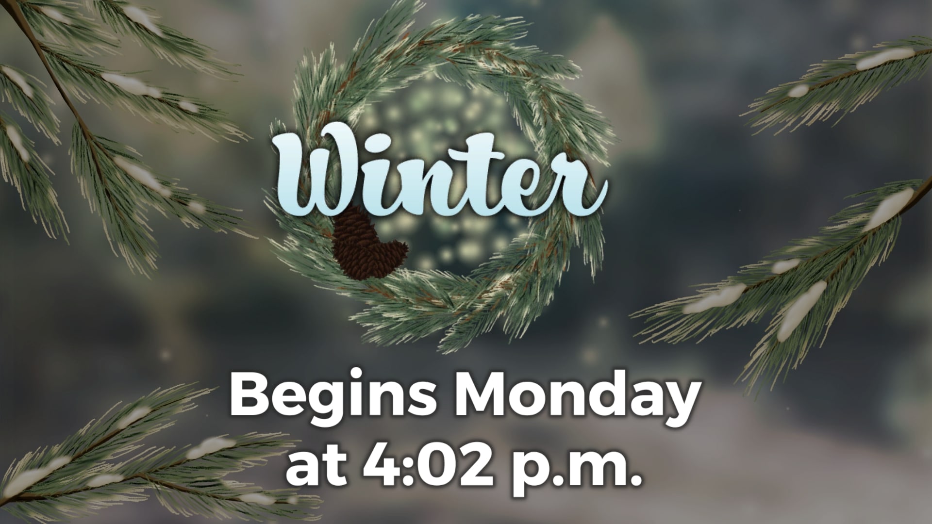
Winter officially begins on Monday, but the temperatures won’t be feeling like winter for the next few days. We’ll be near 60 degrees each afternoon before colder air moves in just in time for Christmas. Our next round of rain is Wednesday evening.
SUNDAY NIGHT: Clouds will slowly begin to exit the area as temperatures fall to the low and mid 30s overnight. Winds will remain light out of the west-northwest.
MONDAY-TUESDAY: Aside from some morning patchy fog Monday, we’ll see a mix of sun and clouds to start the week off with highs near 60 each day. Temperatures will dip into the mid 30s each night.
WEDNESDAY-THURSDAY: Clouds will build on Wednesday ahead of our next chance for rain which will be Wednesday evening and overnight. We could have a bit of thunder, but no major weather is expected. Much colder air will begin to filter in by Christmas Eve morning as the rain exits. Depending on how fast the cold air moves in, we could see a flurry or two early Thursday morning. Unfortunately for you snow lovers, the cold air won’t be quick enough to result in any real snow or a White Christmas. But, if you’re lucky, you may see a flake or two. Highs will be near 60 on Wednesday, but will only be in the 30s and 40s on Thursday. Winds will be breezy at times.
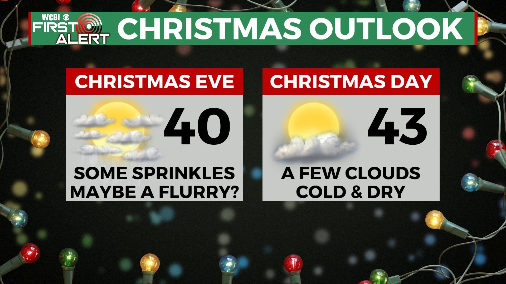
FRIDAY-SUNDAY: It looks like any precipitation will exit by Friday morning, leaving us dry and partly cloudy for Christmas Day. We’ll remain cold with highs in the 40s and morning lows near 20 in many locations. A few more clouds will move in by Saturday and Sunday with highs back to near 50. Some showers are possible during the weekend, especially on Sunday.
Follow WCBI Weather on Facebook, Twitter, and Instagram
Follow Meteorologist Trevor Birchett on Facebook and Twitter


Leave a Reply