Thunderstorms Likely to End the Week
COLUMBUS, Mississippi (WCBI) — Showers and thunderstorms are likely to impact many areas of NE Mississippi and Western Alabama as the weekend approaches.

FRIDAY: Cloudy skies prevail for the morning hours, but as the ground heats up, showers are likely to start in the afternoon, especially along the frontal boundary north of the Golden Triangle. Scattered thunderstorms. some of which may be intense, are also likely in some areas. Temperatures will reach around 90°, but abundant moisture will make it feel at least ten degrees warmer.
FRIDAY NIGHT: The storm threat will diminish by sunset, although an isolated stray storm cannot be ruled out overnight. Mostly cloudy conditions will help keep things warm, with a low around 75°.
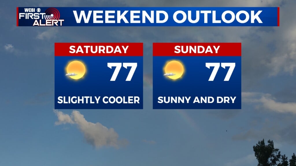
THIS WEEKEND: Scattered showers and thunderstorms remain possible all weekend long, and especially Saturday afternoon/evening. Some breaks in the clouds will let us warm up over the weekend, with Saturday’s high around 91° and Sunday’s high around 96°.
Between now and Sunday night, about an inch of rain is expected to fall in the Columbus area, with higher amounts possible to the north and east. Make sure to stay weather aware if you’ll be spending any time outdoors!