Trending cooler into mid-week
COLUMBUS, Mississippi (WCBI) – After Monday’s rain & storms, drier and cooler weather moves in for the middle of the week.
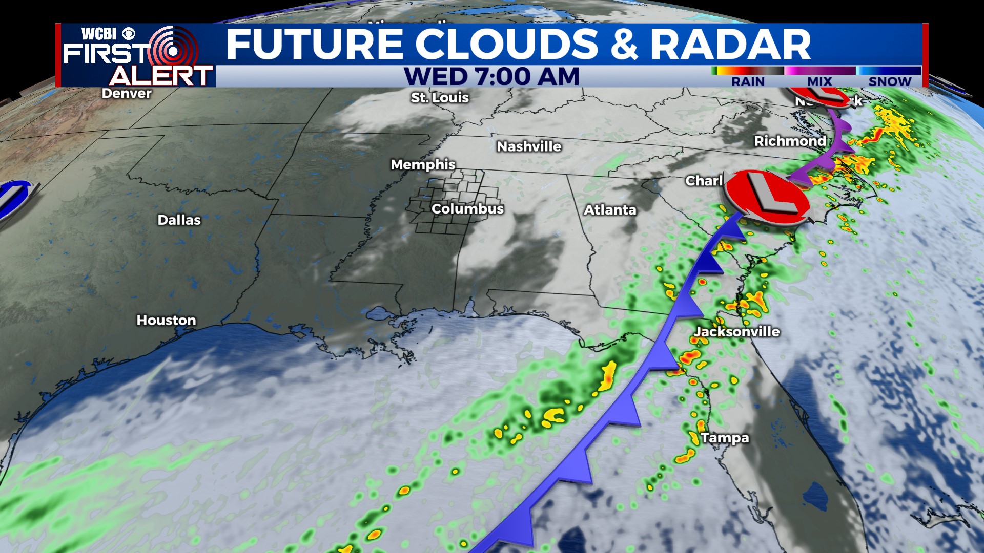
TUESDAY: While the parent cold front responsible for Monday’s rain and storms moves east, wrap-around moisture and cloudiness will continue. No major swings in temperature are expected – we expect afternoon temps in the 50s to low 60s.
WEDNESDAY: Drier air gets in here and hopefully clears up the sky a bit. However, cooler air also moves in, and highs are likely to hold in the middle 50s. The good news – regional travel looks just fine for any Thanksgiving family plans!
THANKSGIVING DAY: Temporary high pressure builds in, yielding a mostly sunny and chilly day w/highs staying in the 50s. The Egg Bowl looks dry and chilly!
FRIDAY/WEEKEND: A few showers are possible with a disturbance moving along the Gulf Coast, but right now the coverage looks limited. Conditions dry out for the weekend, and for now we expect seasonable late November temperatures.


