Trending drier and warmer for the next several days
COLUMBUS, Mississippi (WCBI) – The next several days look to stay dry and increasingly warm! The next chance of rain arrives Monday.
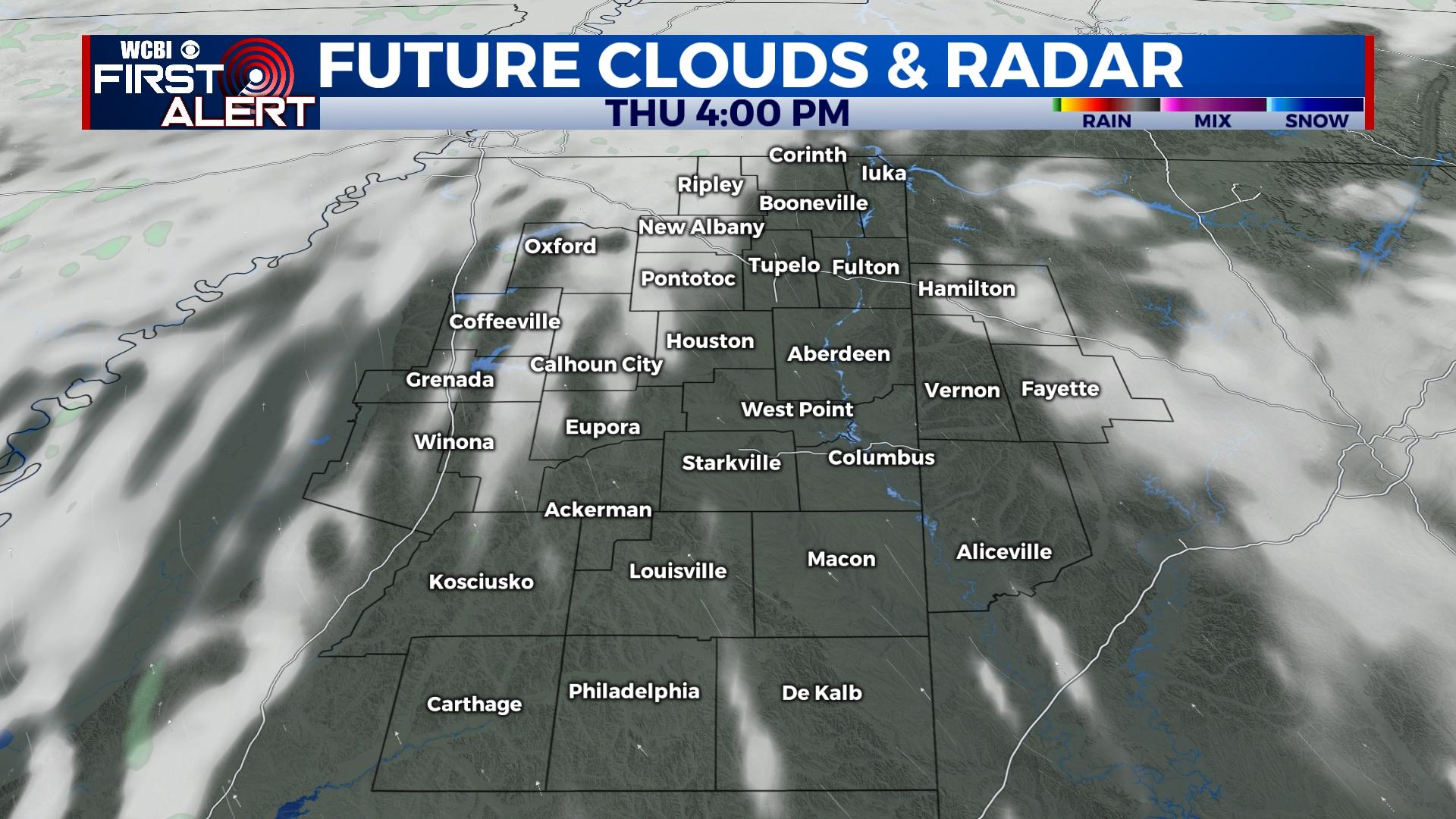
THURSDAY: Morning downpours in northern counties will slowly dissipate before lunch, leaving a clearing sky for most later in the day. Temperatures should quickly rise into the upper 70s to lower 80s with a tolerable south breeze of 10-20 mph.
FRIDAY: Plenty of sun is in store all day long, making for a near perfect spring day! Highs will reach the middle 80s by afternoon as humidity levels will remain in check.
WEEKEND: Sunshine sticks around both days, as do the warm afternoons and pleasant nights & mornings. It will be a fantastic weekend to do spend plenty of time outside, including the MSU/Ole Miss baseball game series in Oxford!
NEXT WEEK: The next front is slated to arrive Monday and should bring scattered to locally numerous showers and isolated storms. At this point, the main upper-air support looks to be well north of the region, suggesting any severe weather threat should be minimal at best. Some cooler air will follow this front Tuesday into Wednesday.


