Trending hotter into mid-week as rain chances return
COLUMBUS, Mississippi (WCBI) – Temperatures will trend up through the next few days. Dry weather holds Tuesday, but rain chances build back in starting Wednesday.
TUESDAY: Expect plenty of sun through the day as afternoon highs top out near 90 degrees. Slightly drier air has filtered into the northern quarter of the state, which should help out the “feel” of the air for some!
TUESDAY NIGHT: Moisture slowly streams back north overnight, leading to some cloud cover returning. There’s a small chance of a rogue shower overnight, bust most should stay dry.
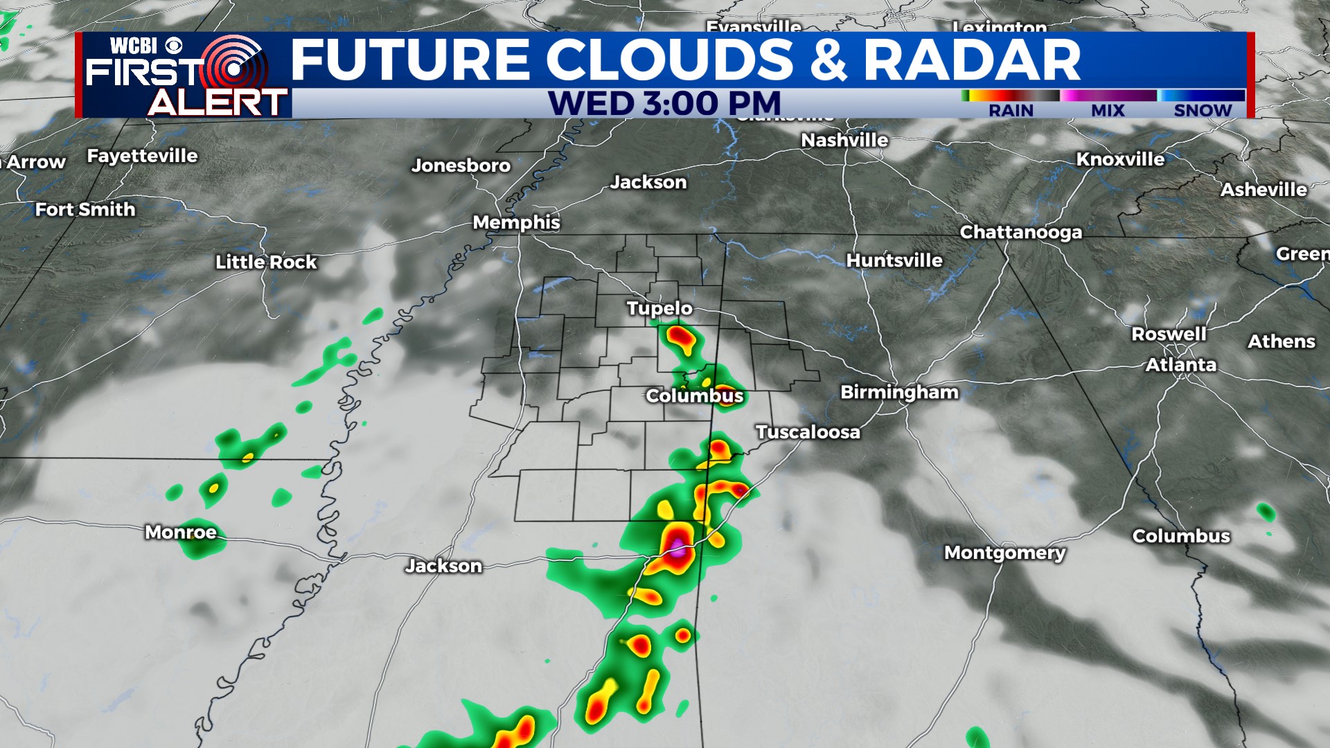
REST OF WEEK: A ridge of high pressure over the southern Plains and persistent troughing extending from the Great Lakes to the Ohio Valley means the Mid-South will be on the periphery of both. This will mean at least a chance of rain & storms each day, though the coverage may vary from scattered to almost none depending on the day-to-day strength of the ridge. On days where the ridge is a touch weaker, afternoon storms may become more likely.