Unsettled weather pattern returning to the Southeast
COLUMBUS, Mississippi (WCBI – Rain & storm chances ramp up for Wednesday & Thursday. Additional rain is possible over the weekend.
WEDNESDAY: Expect a variably cloudy sky with highs in the 70s and occasional rain. A stronger storm or two is possible late in the day, but the coverage should remain quite isolated.
WEDNESDAY NIGHT: Widespread rain will develop into the area along with embedded thunderstorms. Some of this activity is likely to be heavy in spots. Severe storms are possible along I-20 & south overnight into early Thursday.
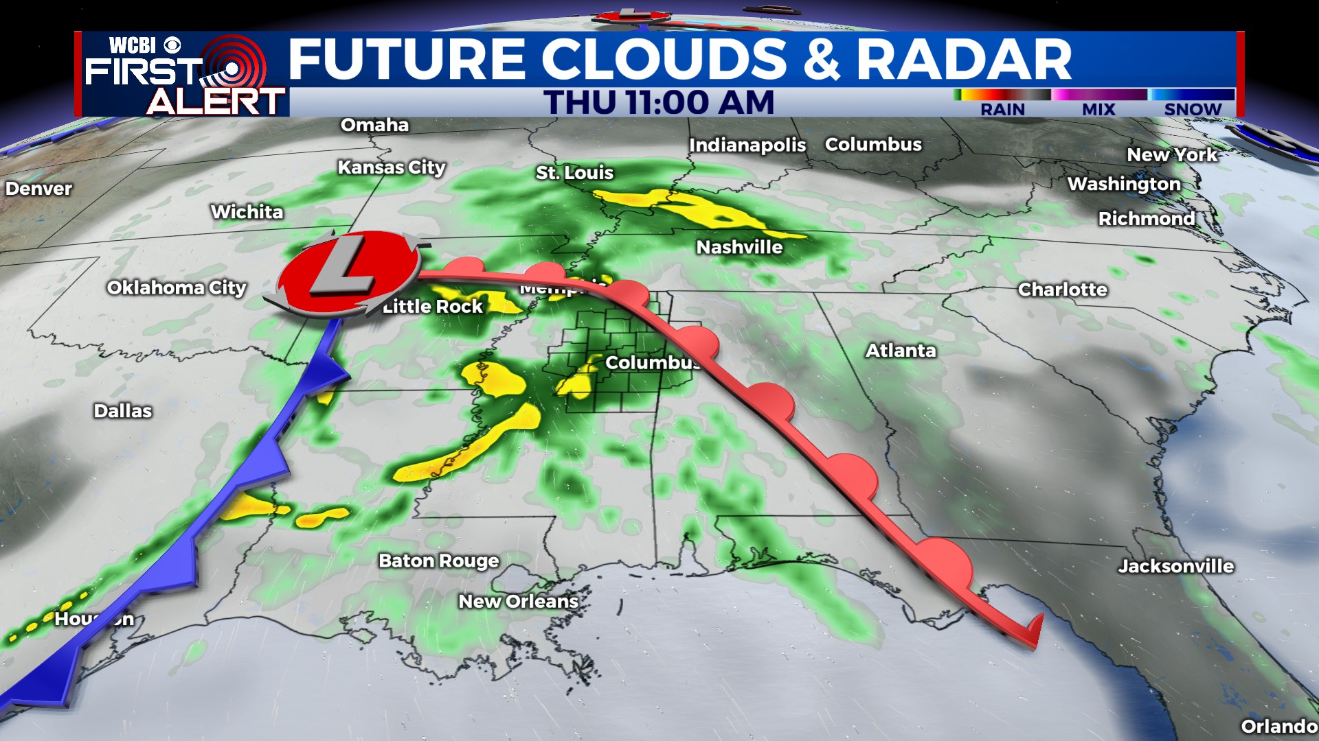
THURSDAY: Ongoing rain and thunderstorms will shift steadily east/southeast of the area through the morning. Some midday sunshine will fuel the atmosphere for one final round of scattered storms late in the day into the evening. The strongest will be capable of hail and gusty winds.
FRIDAY: We’ll close out the week dry with a mix of sun & clouds. Highs will stay in the middle 70s.
WEEKEND: The next weather-maker’s low pressure is trending a bit slower and more south – this will mean less of a rain chance Saturday but possibly higher rain chances Sunday. Stay tuned for additional updates!


