Warm week with increased mid-week rain chances
COLUMBUS, Mississippi (WCBI) – Temperatures stay above average most of this week. Storm chances increase Wednesday & Thursday.
MONDAY: Lots of sun is in store today with high clouds arriving late in the day. Highs should reach the upper 60s to near 70 degrees – quite nice for early to mid February.
MONDAY NIGHT: Scattered clouds will continue but temperatures only will drop into the lower and middle 40s – not as cold!
VALENTINE’S DAY: The day begins dry, but clouds will steadily increase through the afternoon. Increasingly warm and breezy weather is likely as well with highs near 70 degrees and south wind gusts over 20 mph. Scattered downpours are possible near & after sunset, but the coverage shouldn’t be too widespread. Take an umbrella for any dinner plans!

WEDNESDAY: Tuesday’s front will “wash out” and return northward as a warm front Wednesday, bringing in even more warmth and moisture. While spotty rain is possible through the day, scattered storms could form in the evening hours. While not expected to be severe, these could become strong at times with gusty winds & small hail. Some stronger storms could arrive after midnight as well.
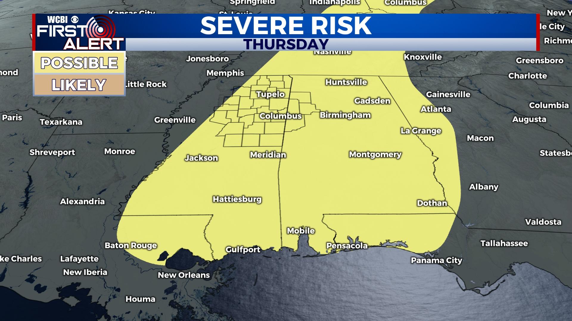
THURSDAY: Much of the area remains in a threat for severe weather as a stronger front passes. Showers and storms appear most likely during the day, though specific timing still needs to be ironed out. Regardless, enough wind energy, moisture, and instability will be in place to allow any storm to potentially become severe.
FRIDAY/WEEKEND: Much colder air is expected behind Thursday’s front. While clouds will slowly clear up, temperatures will only reach the mid 40s with a chilly northwest wind Friday. Slowly moderating temperatures are expected for the weekend.


