Warmer start to week, mid-week rain likely
COLUMBUS, Mississippi (WCBI) – Temperatures in the 70s are likely for Monday before cooler weather moves in mid-week. Rain is also likely by mid-week.
MONDAY: The day stays dry with highs in the lower 70s by afternoon. The sky will be variably cloudy through the day as mid & upper level moisture continues to stream in from the southwest.
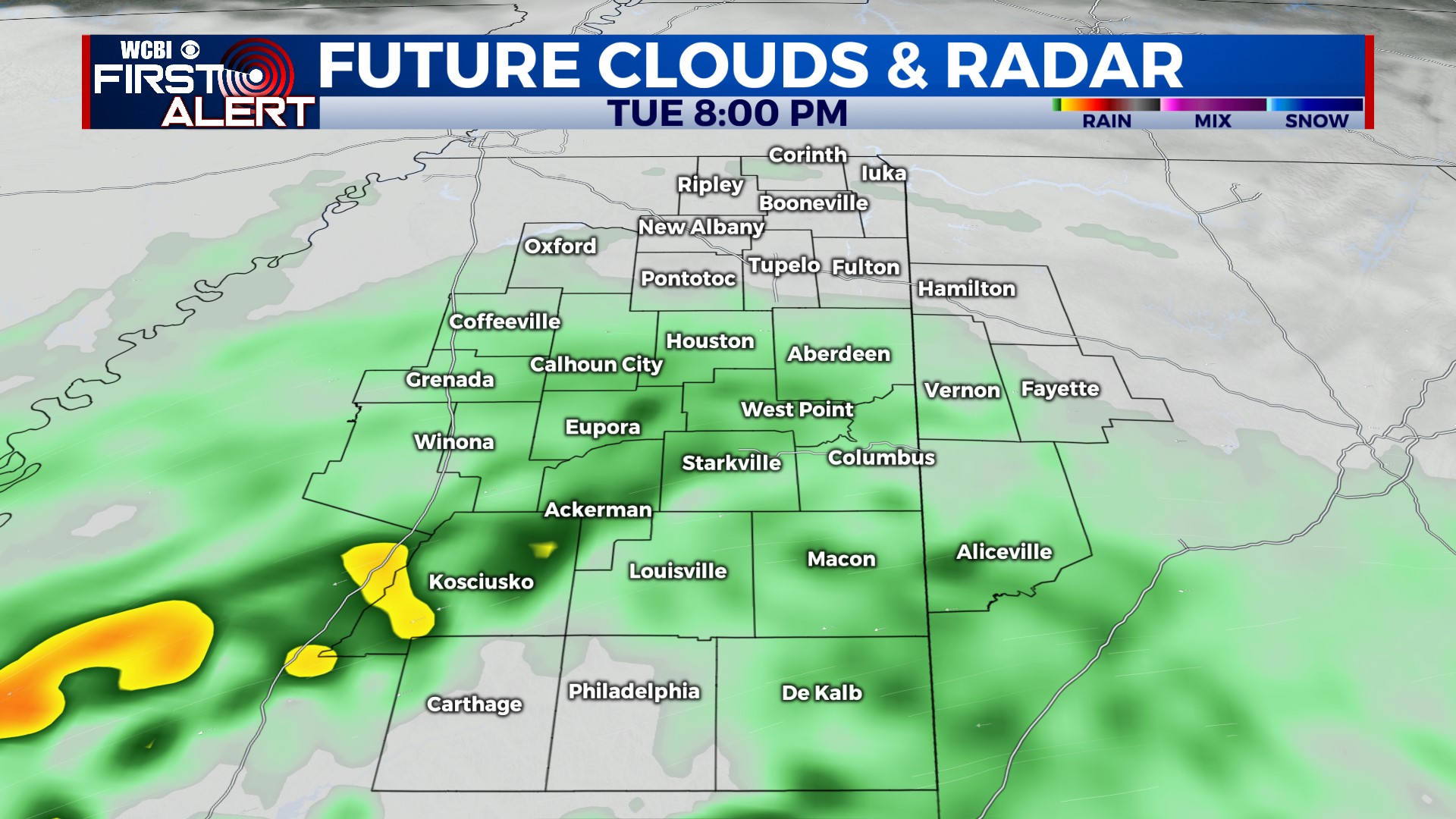
TUESDAY: An area of low pressure will be skirting along the Gulf Coast, but persistent high pressure to the northeast will act to “protect” us a while longer from any incoming rain. With that being said, at least the first half of the day should remain dry with highs in the upper 60s. Scattered showers will then become possible Tuesday afternoon & evening.
WEDNESDAY: Rain is most likely from late Tuesday night into the day Wednesday. We expect a steady rain much of the day w/highs back in the 50s.
THU/FRI: The area of low pressure will be well east by Thursday, leaving us in between systems. Most of the day will be dry. Another front should pass through Friday, producing just isolated showers.
WEEKEND: Slightly cooler air moves in for the weekend as the sky temporarily clears.


