Warming trend through Thursday
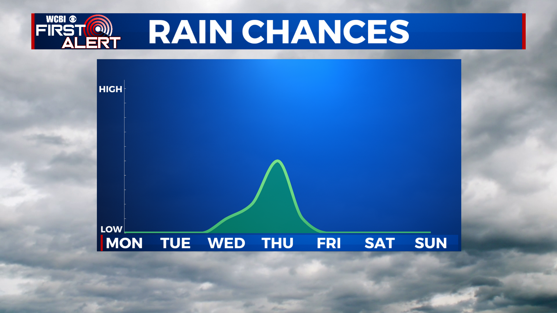
SUMMARY: Hopefully you’ve been able to get out and enjoy the great weather this weekend! Plenty more nice days in store this week. The weather will stay nice and dry through Wednesday, with highs slowly warming into the upper 70s to near 80 degrees. A cold front brings a chance of showers and storms on Thursday, before we clear out and cool back down again for Friday and the weekend.
SUNDAY NIGHT: Another chilly one in store! Lows will bottom out in the low 40s, with upper 30s also possible. Skies should be clear to partly cloudy.
MONDAY: After a chilly start, things should warm up nicely for Monday afternoon. The one wrench in the forecast is that we may see some cloud cover in the afternoon, which will keep it feeling a bit cooler.
MONDAY NIGHT: Any clouds should clear out by Monday night. Chilly and clear, with lows once again in the low 40s.
TUESDAY: Stellar day on Tuesday, with sunny skies and a warmer high in the mid 70s. Lows will be warmer in the low 50s Tuesday night.
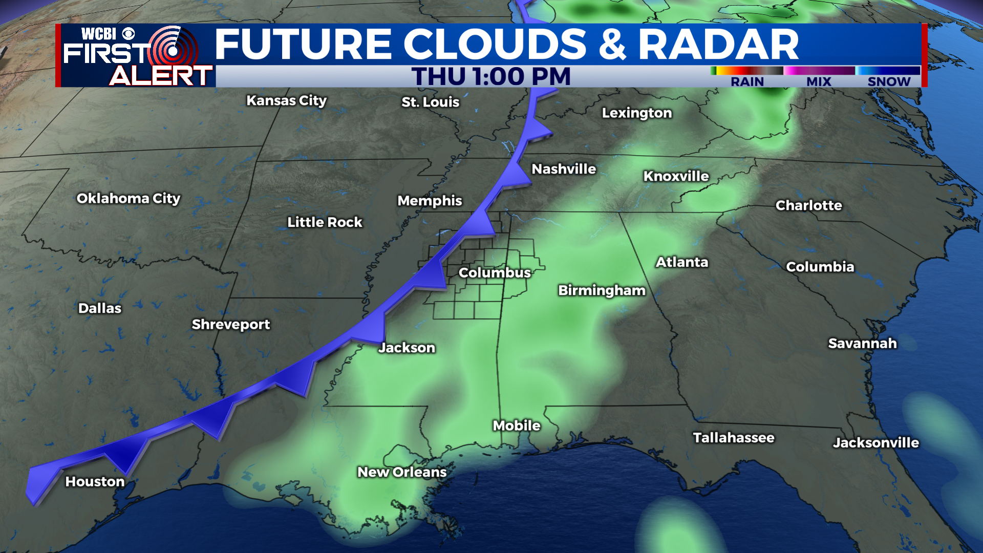
WEDNESDAY TO SUNDAY: Clouds will be on the increase on Wednesday ahead of another cold front. Skies will stay partly cloudy, and it will be warm with a high near 80. Lows on Wednesday night will also be quite a bit warmer, near 60 degrees. Scattered showers and storms are likely on Thursday with a cold front pushing across the region. Highs will once again be near 80 degrees. We cool down into the low 50s or upper 40s again Thursday night, and Friday looks cool again with a high in the upper 60s or low 70s. Lows drop back to the 40s for Friday night. The weekend is also looking quite pleasant, with highs in the low to mid 70s and lows in the mid to upper 40s.
CONNECT WITH @WCBIWEATHER ON TWITTER, FACEBOOK AND INSTAGRAM