Wednesday afternoon storm threat
COLUMBUS, Mississippi (WCBI) – After several quiet days, a busy afternoon with showers and storms is expected Wednesday. We’re then back to quiet weather to close out the work week and weekend.
WEDNESDAY: Any showers early in the day should be short-lived as the main ‘event’ is expected later. Highs should top out in the low to middle 90s ahead of an approaching front. This front should trigger scattered to numerous showers & storms after 3 PM across northern/northwestern MS. These will then dive south/southeast into unstable air, becoming severe in some instances. The main concern will be damaging wind gusts with the strongest activity. Most storms should weaken after sunset.
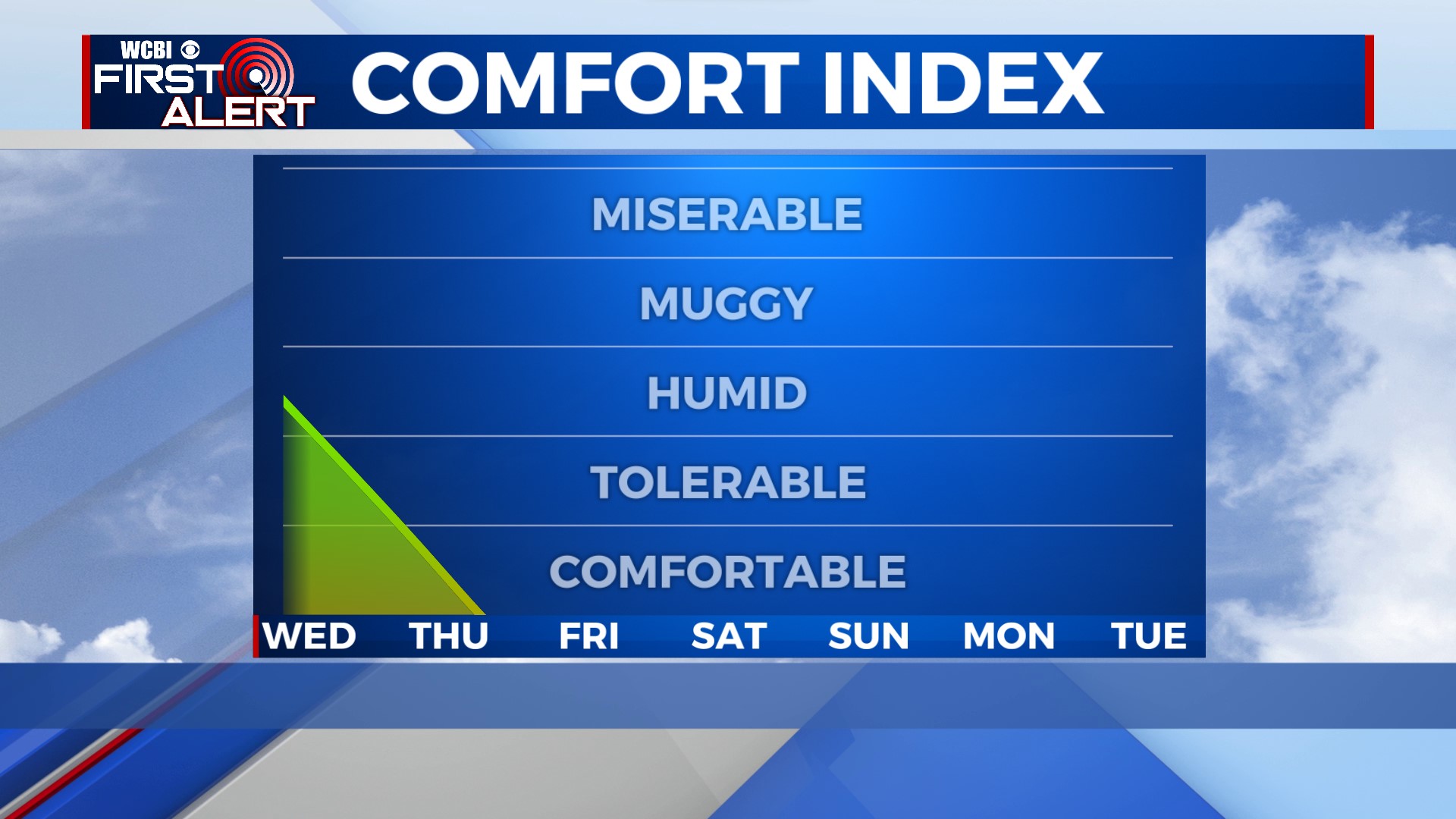
THU/FRI: The aforementioned front will continue sagging southward, taking rain chances and moisture with it. The best coverage of storms Thursday looks to set up south of I-20, leaving northern MS mainly dry. Drier air also will settle in, meaning much lower humidity is in store!
WEEKEND: Dry air looks to stick around! Highs will be in the upper 80s each day with lows well down in the 60s – great for area football games!
NEXT WEEK: We’ll slowly recover moisture Monday, and Tuesday looks to bring the next chance of showers and storms to the region.


