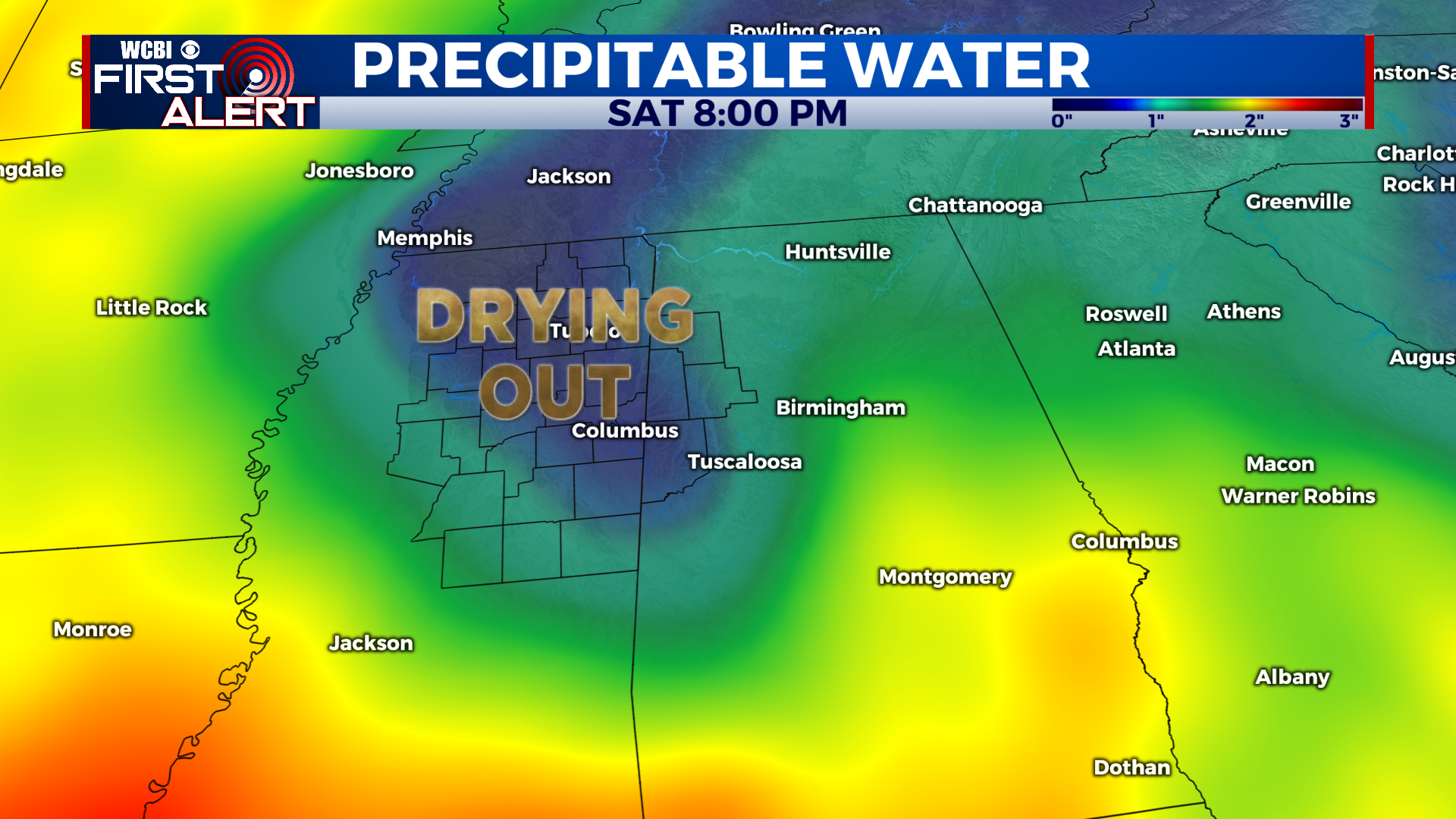
Weekend dry patch allows temps to climb next week
COLUMBUS – SUMMARY: A dry patch over the weekend allows for a bit of warming heading into next week. Highs will rise from around 90 to to mid 90s by Tuesday. Our weak cold front Thursday provides some aid by cooling afternoon temperatures down into the mid to upper 80s.
WEDNESDAY: Yet another decent rain chance awaits us Wednesday in the form of more scattered thunderstorms. Highs top out in the upper 80s and lows hit the low 70s.
THURSDAY: A slight drop in temperature closer to the mid 80s can be attributed to the weak cold front that will grace our region late Wednesday and early into Thursday. Once again, we are faced with yet another decent shot at some rain in the form of scattered storms. Lows bottom out in the low 70s overnight.
REST OF THE WEEK: Aside from our rain chances over the next few days, a dry stretch to head off the weekend will give the skies plentiful opportunity to make a comeback temperature-wise. Highs will remain relatively stable in the low 90s during this period but a climb into the mid 90s is on tap for Tuesday. Another rain chance on Tuesday offers some intrigue for cooling but there is little else in the way of major rain chances after Thursday. Lows sit in the low 70s and even upper 60s some days for the remainder of the week and into next week.


