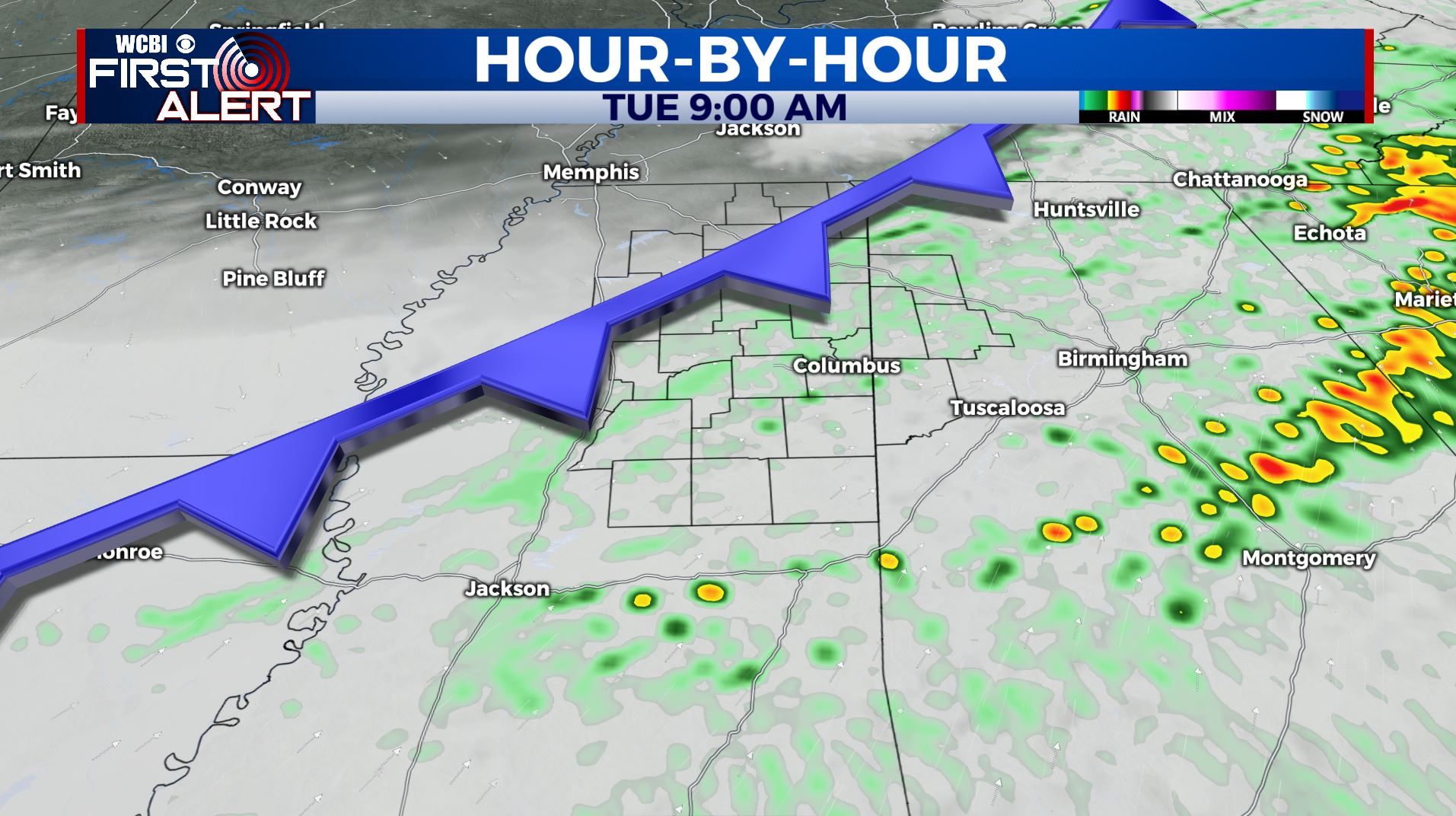
A stormy morning leads to a bit of a break from the rain for Tuesday
SUMMARY: A cold front will push through Tuesday. The front heads south and stalls south of our area Tuesday afternoon through Wednesday. That’s a good set-up to prevent severe weather locally. Rain will be still be likely through Thursday. Total rainfall through Thursday may range from about 1/2” to over 3”. Another beautiful weekend is ahead for us.
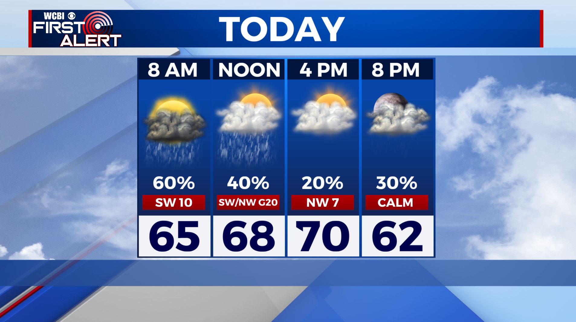
TUESDAY: Rain and storms will pass through the region this morning with the cold front pushing south towards the Gulf Coast and the track of the low staying along the coast, this would help bring in cooler air and keep us more on track for more showers Tuesday night into Wednesday. Things could shift around, but we’re growing confident in lesser chances for severe weather locally. Mostly cloudy skies during the afternoon with highs near 70 and lows in the 50s.
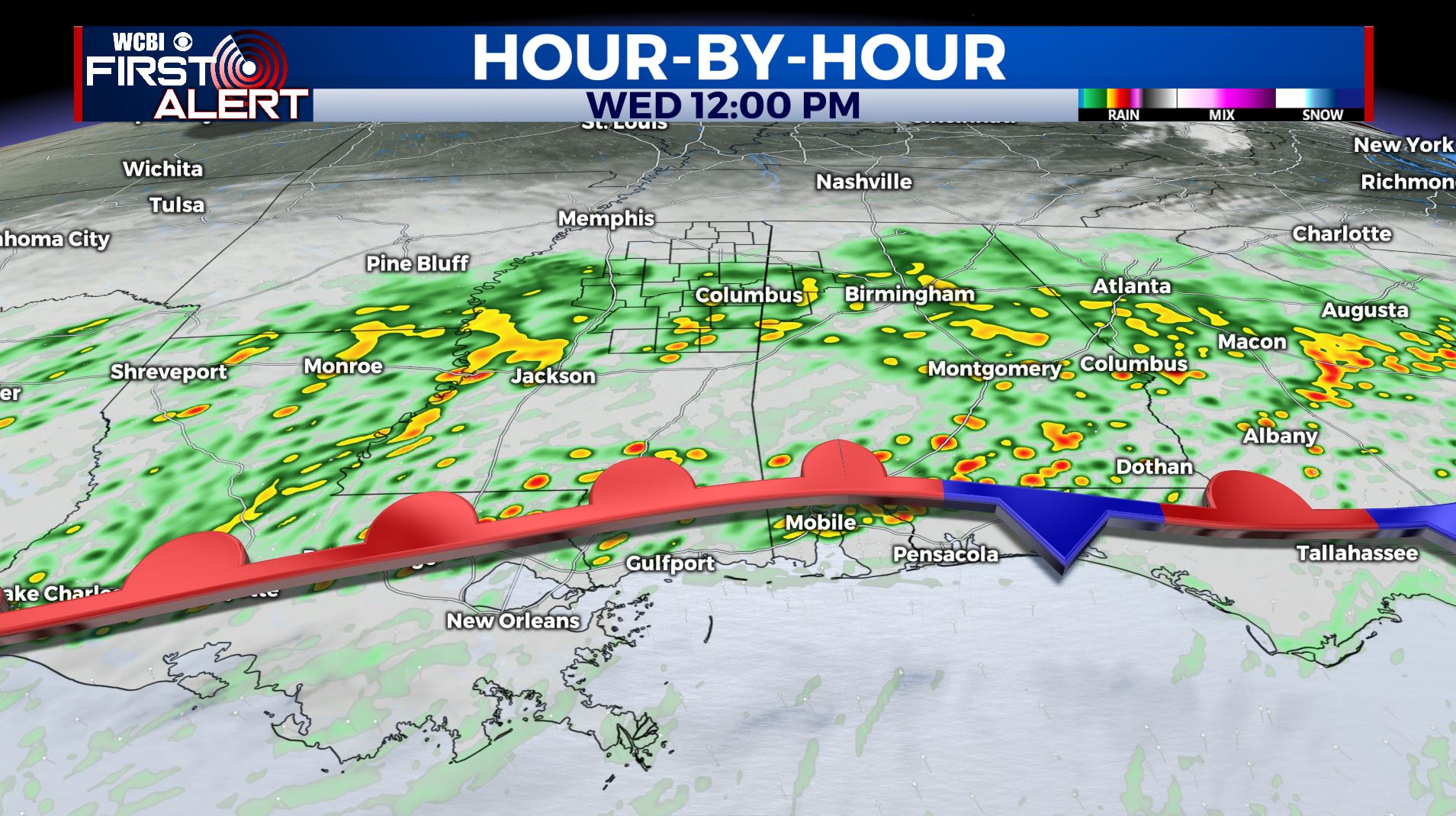
WEDNESDAY: We’ll continue to see widespread chances of thundershowers push through the region. It will depend on how our cold front settles through and where the passing of the low will be located. Look for temps much cooler in the upper 50s with lows in the 40s.
THURSDAY: It appears we’ll have some lingering rain showers in the region during the morning hours. Then we will see a mix of sun and clouds into the afternoon and evening. Look for highs in the lower 60s with lows down in the 40s.
FRIDAY: Sunny and seasonably cool. Highs from the mid 50s to around 60. Lows in the low 30s Friday night.
SATURDAY: Sunny. Highs around 60. Lows in the mid to low 30s Saturday night.
SUNDAY: Mostly sunny skies. Highs in the mid 60s.
Stay connected with @WCBIWEATHER on Facebook, Twitter, Instagram, and the WCBI News App


Leave a Reply