Unsettled Pattern, Chances for Rain Continue
We’ll remain in a very unsettled weather pattern for the next week with chances for rain and even some storms each day. It won’t rain constantly for the next seven days, but it’ll be more spotty in nature. Temperatures will remain above average with highs in the mid and upper 70s to near 80.
SATURDAY NIGHT: A passing cold front will bring chances for ran and perhaps a few rumbles of thunder overnight. Temperatures will remain steady in the upper 50s to the south, with lows in the 40s to the north. Skies will remain mostly cloudy with winds turning out of the north by sunrise.
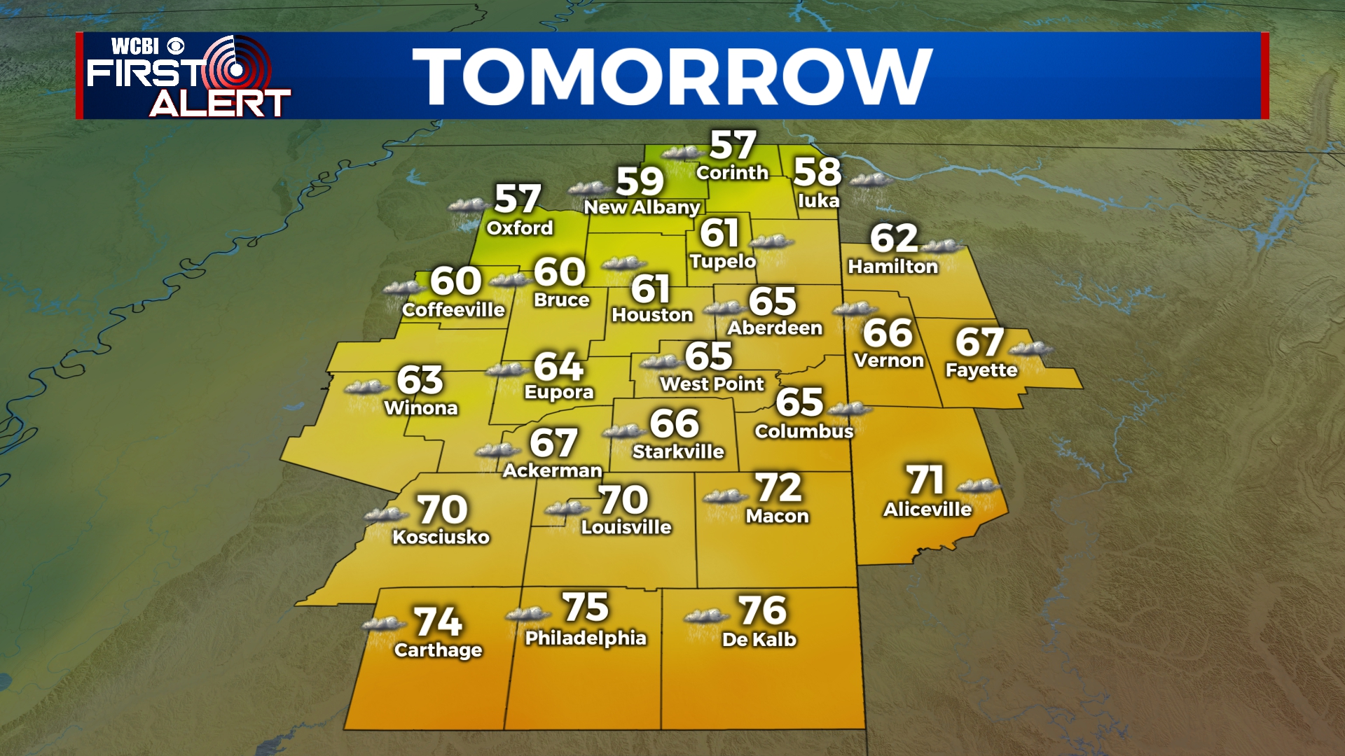
SUNDAY: Overcast to mostly cloudy conditions will continue through the day with temperatures in the 70s to the south and 50s to the north. We’ll see off-and-on rain showers, especially in the morning. Our high will be in the mid 60s in the Golden Triangle. Winds will be out of the north at 5 to 15 mph.
SUNDAY NIGHT: Mostly cloudy with a few isolated showers. Lows in the low to mid 50s with light northerly winds.
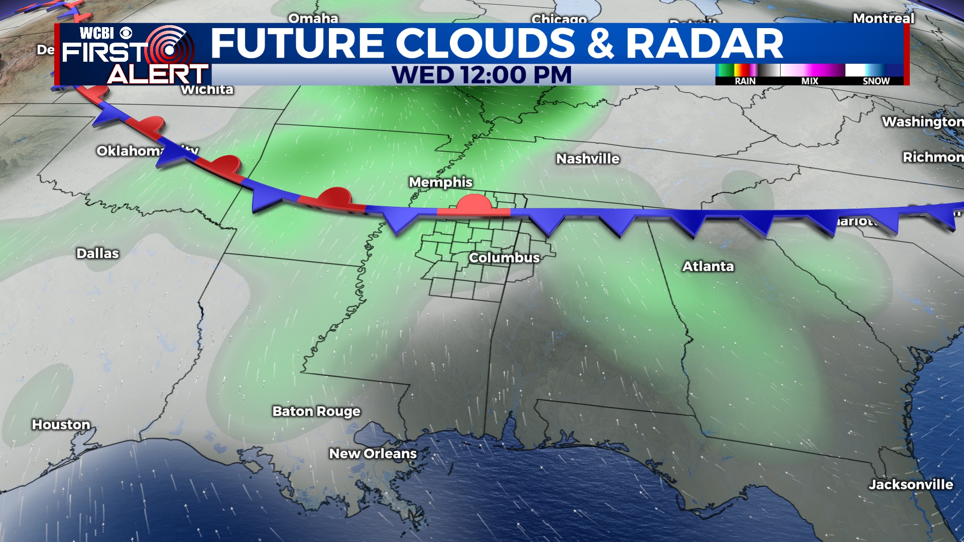
MONDAY-THURSDAY: We’re expecting several rounds of showers and storms through the week with temperatures climbing into the upper 70s to near 80 by Thursday. Fortunately, this won’t be a heavy rainfall event as total accumulation amounts look to remain under 2 inches. It will certainly be a soggy week though.
FRIDAY-SATURDAY: Our final batch of showers and storms will move through on Friday and Saturday. Highs will be near 80 on Friday, but temperatures will remain in the 60s on Saturday.


Leave a Reply