Nice Friday, becoming unsettled and stormy soon
COLUMBUS, Mississippi (WCBI) – We’ll have a decent weather day Friday, but an unseasonably stormy pattern looks to take shape this weekend into next week.
FRIDAY: A weakening front will become increasingly diffuse today, leaving a mixture of clouds and sunshine across the region. While a brief shower or two is possible, most stay dry with highs in the upper 80s.
FRIDAY NIGHT: Look for a mostly clear sky as briefly drier air tries to push in from the northeast. Lows will drop into the lower 60s.
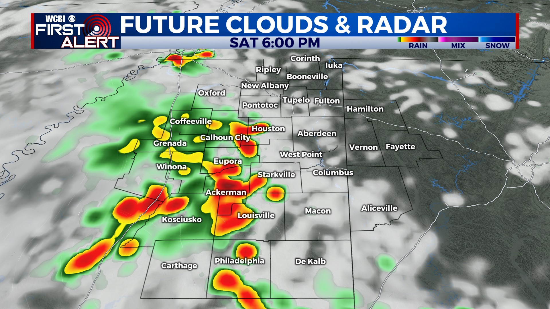
WEEKEND: Saturday starts dry, but heat & humidity make a quick return through the day. Scattered showers and a few locally strong storms are possible, especially in western and southern parts of the region. Any severe weather concerns should stay outside the WCBI coverage area at this point, but stay tuned for updates! Another round of storms is possible Sunday afternoon into Sunday night, and these could also become locally strong.
NEXT WEEK: An unseasonably strong belt of mid/upper-level winds will be in place, and this will lead to repeated rounds of storms. For now, Monday has trended a bit less active; however, the middle of the week looks busy! At some point, we expect at least some severe weather risk thanks to strong winds aloft and lots of storm energy/moisture at the surface. Stay tuned!


