A break from the storms
COLUMBUS, Mississippi (WCBI)- A busy couple of days brought severe rounds of showers, storms, and severe weather. Finishing off the week, conditions have become much nicer for the weekend. Expect to see lots of sun!
FRIDAY NIGHT: Wind speeds have been running wild throughout the day. Several trees and power lines have fallen. Many experienced power outages early this afternoon too. But as the day went on, so did the rest of the heavy cloud coverage. The sun made a grand appearance after the storms. The sky will remain mostly clear into the overnight hours, as the winds continues to calm itself back down. Temperatures will be able to drop into the low to middle 40s.
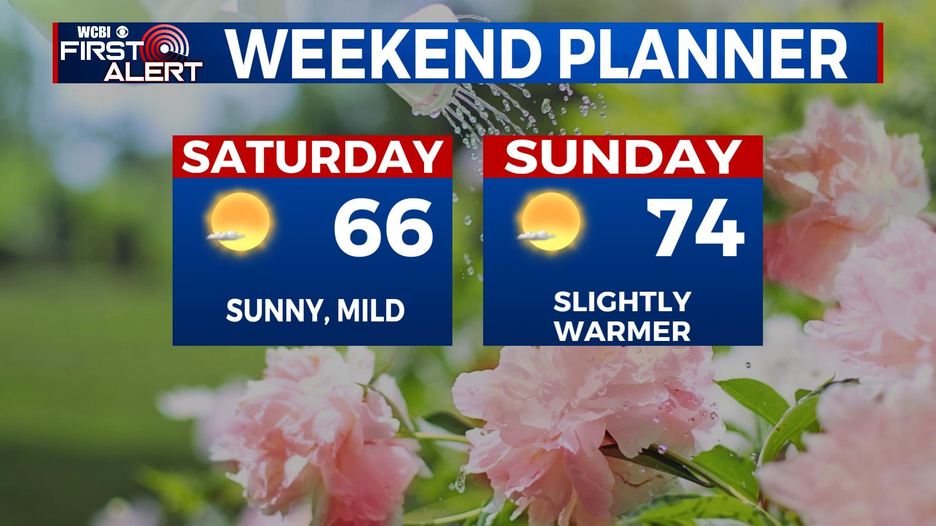
WEEKEND: It is going to be a gorgeous weekend to get outdoors and really enjoy the fresh air. Temperatures are going to be comfortable, in the middle 60s to the middle 70s. Sky conditions are going to be mostly clear, with a lot of sun and very few clouds. The overnight temperatures will be cool but pleasant, in the 40s.
NEXT WEEK: The cloud coverage will begin filling back in on Monday, with a light chance for scattered rain during the late afternoon and evening. Heavier cloud coverage and rain chances continue into the week. Temperatures will be warm and in the middle 70s through Tuesday. The cooler temperatures will drop some for the middle of the week, into the upper 50s, with continued rain showers.


