A rainy & dreary day ahead for Thursday
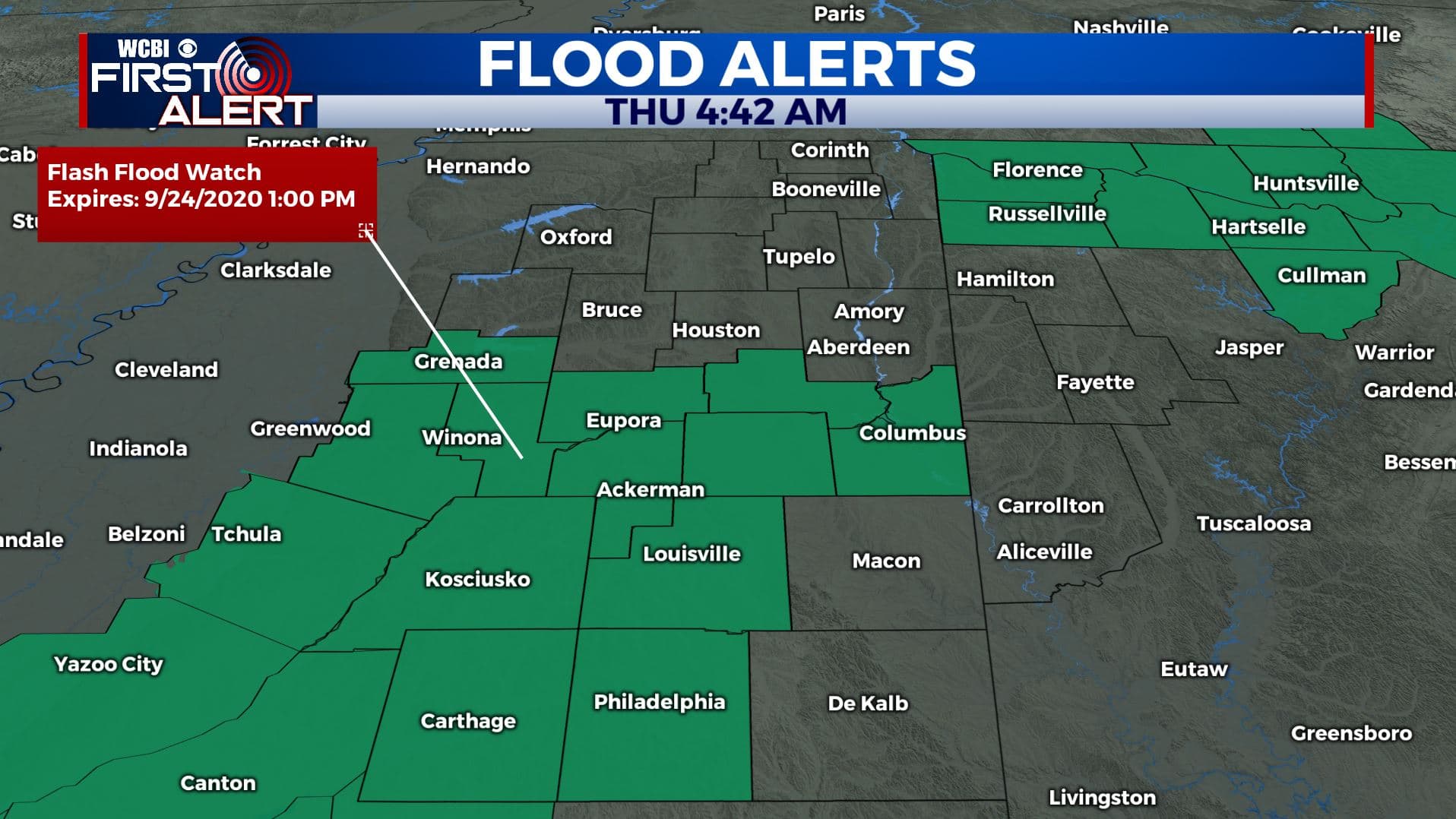
SUMMARY: Widespread steady to heavy rain is expected to continue into Thursday as the remnants of Tropical Storm Beta move through the region. Total rainfall amounts may range from 1″ to 5″ depending on where the heaviest band sets up. Some flooding or flash flooding could occur as Flash Flood Watch remains in effect. Severe Weather threat staying to our south and east. Weekend looking decent followed by a possible major cool down next week.
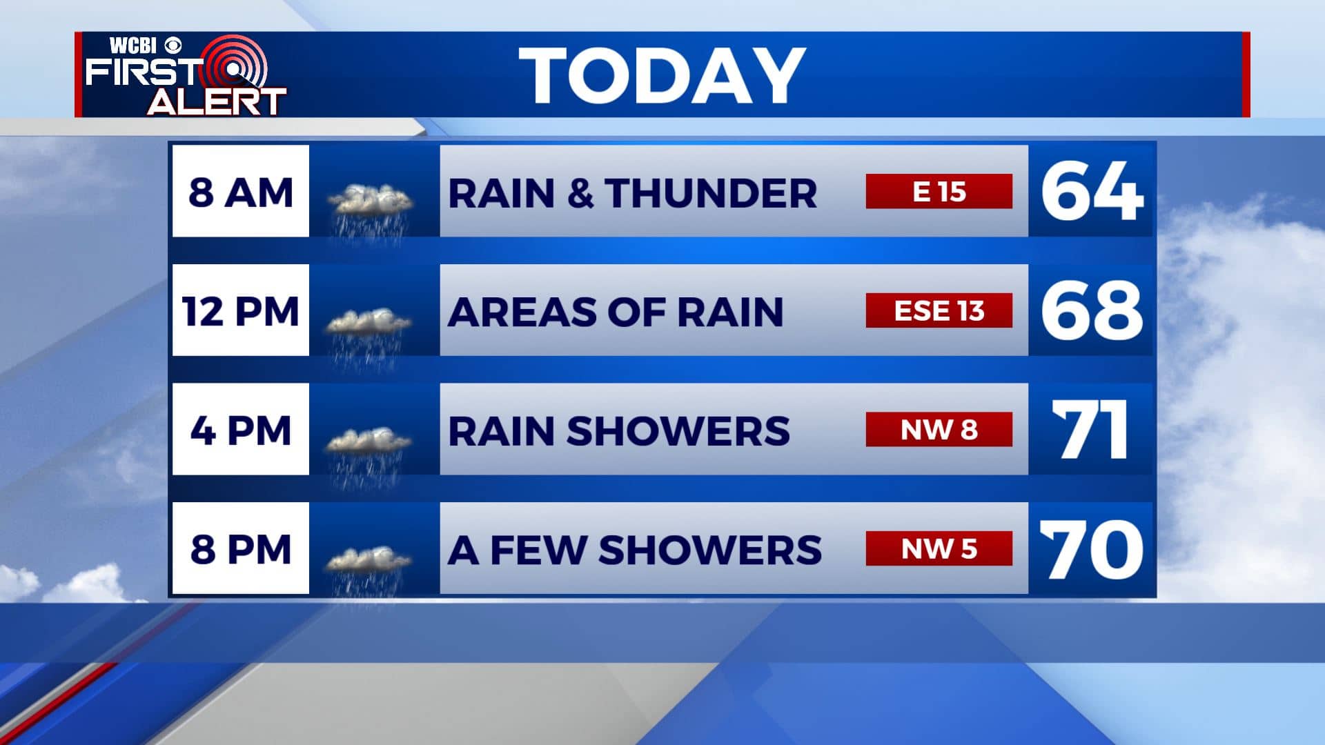
THURSDAY: We’re waking up to some heavy rain this Thursday morning. We’ll continue to have cloudy skies with areas of rain and even a few rumbles of thunder. Highs only in the upper 60s to lower 70s. Winds shift from the ESE to the NW during the day between 5 and 15 mph.
THURSDAY NIGHT: Cloudy skies with a few lingering showers possible. Overnight lows in the 60s.
FRIDAY: Mostly cloudy skies to start with some breaks developing as the day wears on. The chance of showers is just very isolated. Highs top out in the upper 70s. Conditions for high school football are looking mainly dry and quiet.
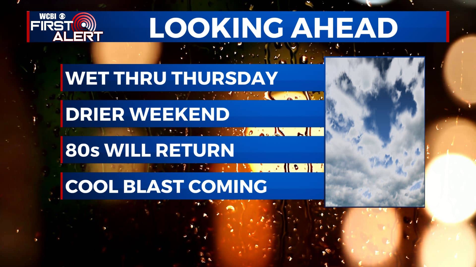
WEEKEND: A mix of sun & clouds. A few isolated showers can’t be ruled out, but looking to stay mostly dry. Highs look to climb back into the mid 80s and that’s about where we should be for this time of year.
NEXT WEEK: Mild early fall weather, highs in the 80s will continue through Tuesday. Models area suggesting that a sharp cool down is possible starting Wednesday after more powerful fall cold front passes, bringing in the coolest air of the season thus far. Highs in the 70s are likely by Wednesday through Friday along with overnight lows in the low 50s and even 40s. Stay tuned!
Stay connected with @WCBIWEATHER on Facebook, Twitter, Instagram, and the WCBI News App


Leave a Reply