Big temperature changes on the way
COLUMBUS, Mississippi (WCBI) – SUMMARY: The weather stays dry and warm through today before rain chances pick up on Thursday.
WEDNESDAY: Unseasonably warm November air continues today as highs reach the middle 70s under a mostly sunny sky.
THURSDAY: A strong cold front is expected to move through the region, and scattered showers are likely at times…especially toward midday. Surface winds will veer in the afternoon, reducing convergence along the front and effectively decrease the rain chance. Temperatures will fall quickly Thursday night into the lower 40s.
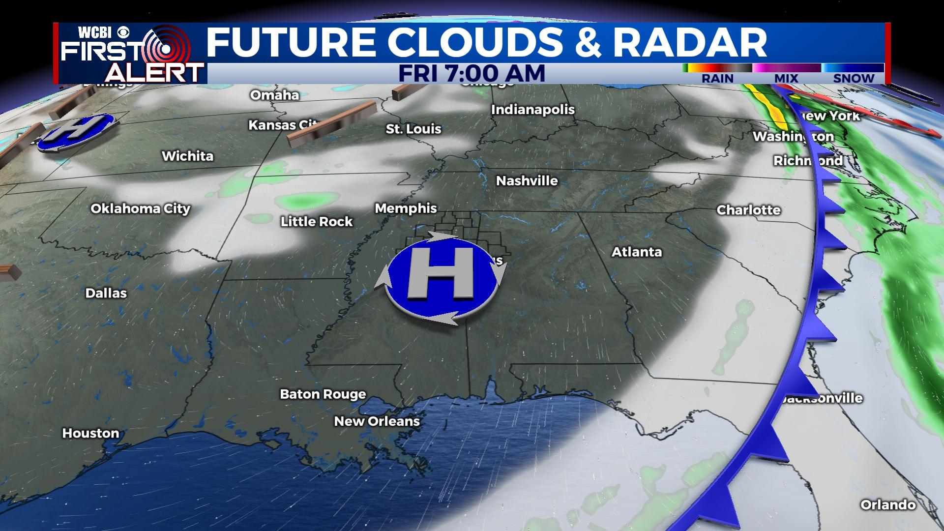
FRIDAY: One final disturbance may help to keep clouds around at times, but rain is not expected. Highs will stay in the mid to upper 60s – not bad for mid November.
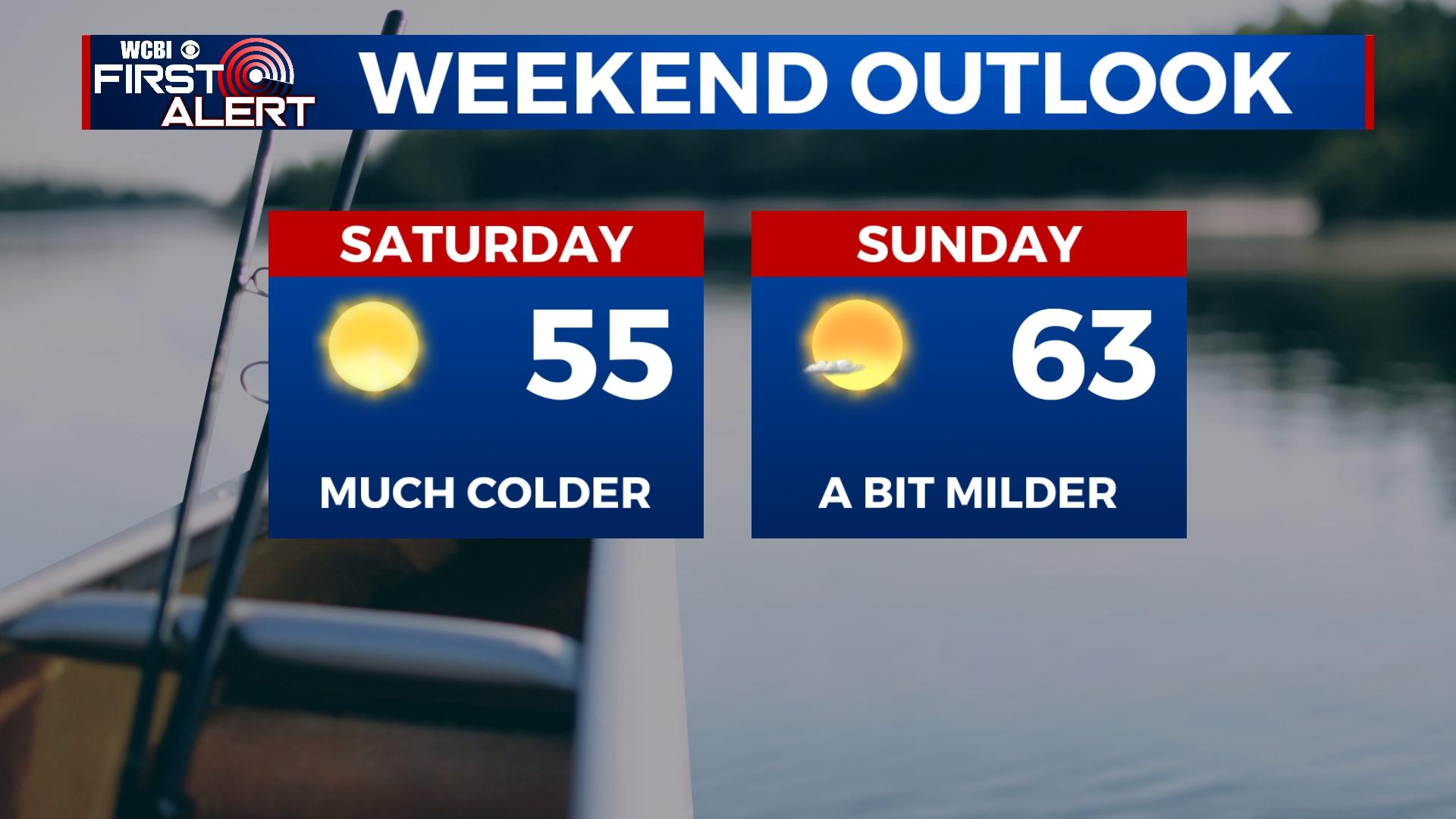
WEEKEND: Saturday certainly looks fairly chilly – highs won’t get out of the 50s despite full sunshine. There’s still a threat for frost Saturday morning and even a possible freeze Sunday morning.
NEXT WEEK: Dry and mostly sunny weather will continue; however, temperatures may be a wild card. Some recent model guidance has come in substantially warmer, but we’re not ready to bite on that trend just yet. For now, expect highs in the upper 50s to mid 60s Monday and Tuesday.