Brief taste of drier air midweek
SUMMARY: After an unsettled start to the work week, our area will enjoy some cooler, drier, and less active pattern for the middle of the week. Some lows may be down into the upper 50s Wednesday morning! Summer heat and humidity will return starting Thursday and of course that means continuing chances of showers and storms heading into the weekend.
MONDAY NIGHT: Areas of rain and storms. Lows in the 60s. Winds SW/N 5-10 mph. Some storms may produce gusty winds and heavy rainfall.
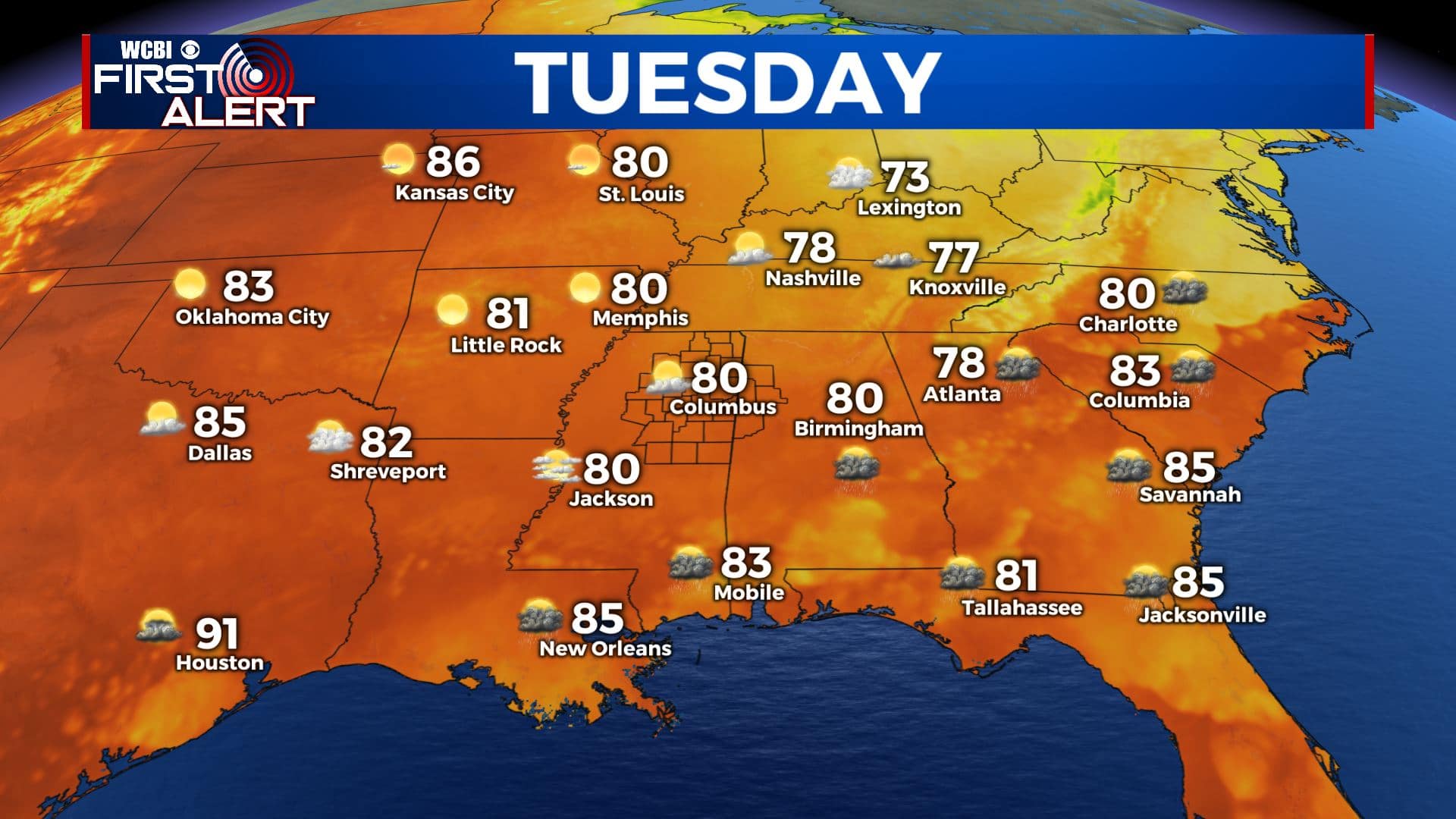
TUESDAY: Mostly cloudy to start with lots of sunshine developing during the day. Highs in the upper 70s to lower 80s. Winds N 5-10 mph.
TUESDAY NIGHT: Clear, quiet, and cool for summer. Lows in the upper 50s.
WEDNESDAY: Pretty nice. Highs in the mid 80s with lots of sunshine.
WEDNESDAY NIGHT: Partly cloudy. Lows in the mid 60s.
THURSDAY: Partly cloudy. A few spotty storms are possible. Highs in the upper 80s.
FRIDAY-MONDAY: Warm and humid. Highs around 90 with lows in the low 70s. A daily chance of showers and storms.
Follow @WCBIWEATHER on Facebook, Twitter, Instagram, and the WCBI News App


Leave a Reply