Briefly warmer Wednesday, much colder end to week
COLUMBUS, Mississippi (WCBI) – Temperatures will reach near 60 degrees Wednesday followed by colder air Thursday into Friday.
TUESDAY NIGHT: Passing clouds and cooler with patchy frost and overnight lows near freezing.
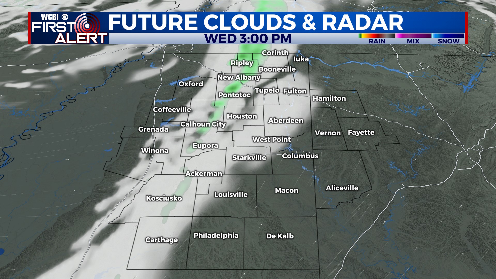
WEDNESDAY: Ahead of a cold front, temperatures will quickly rise to the upper 50s to near 60 degrees by afternoon. There may be a shower or two to briefly form along the passing front late day, but the main story will be the colder air behind it!
THU/FRI: A slow-moving upper-air low will swing through parts of the Mid-South to end the week. Varying model solutions continue, lending lower-than-usual confidence in the going forecast. Still, spotty showers are possible late Thursday into Friday, potentially with mixing with snowflakes in extreme northern MS into parts of middle TN or neighboring northern AL. Stay tuned for further updates, but right now we don’t expect any major issues.
WEEKEND: Seasonable temperatures will continue to close out 2023 with a decent supply of sun both days. Another system could move in by Monday and bring our first rain chances of the new year.