Chill slowly wears off this week
COLUMBUS, Mississippi (WCBI) – After Tuesday morning’s freeze, we’ll at least have patchy frost into Wednesday AM. Milder air moves in late week along with rain chances.
TUESDAY: Expect a good supply of sun and a steady warm-up today, with afternoon highs reaching the upper 50s to near 60 degrees.
TUESDAY NIGHT: Mostly clear and chilly with overnight lows dropping to the middle 30s. Patchy frost is possible, but another freeze is not currently expected.
WEDNESDAY: Some clouds roll in by afternoon, but we’ll notice a more appreciable warm-up. Highs should top out in the 70s, making it feel more like spring!
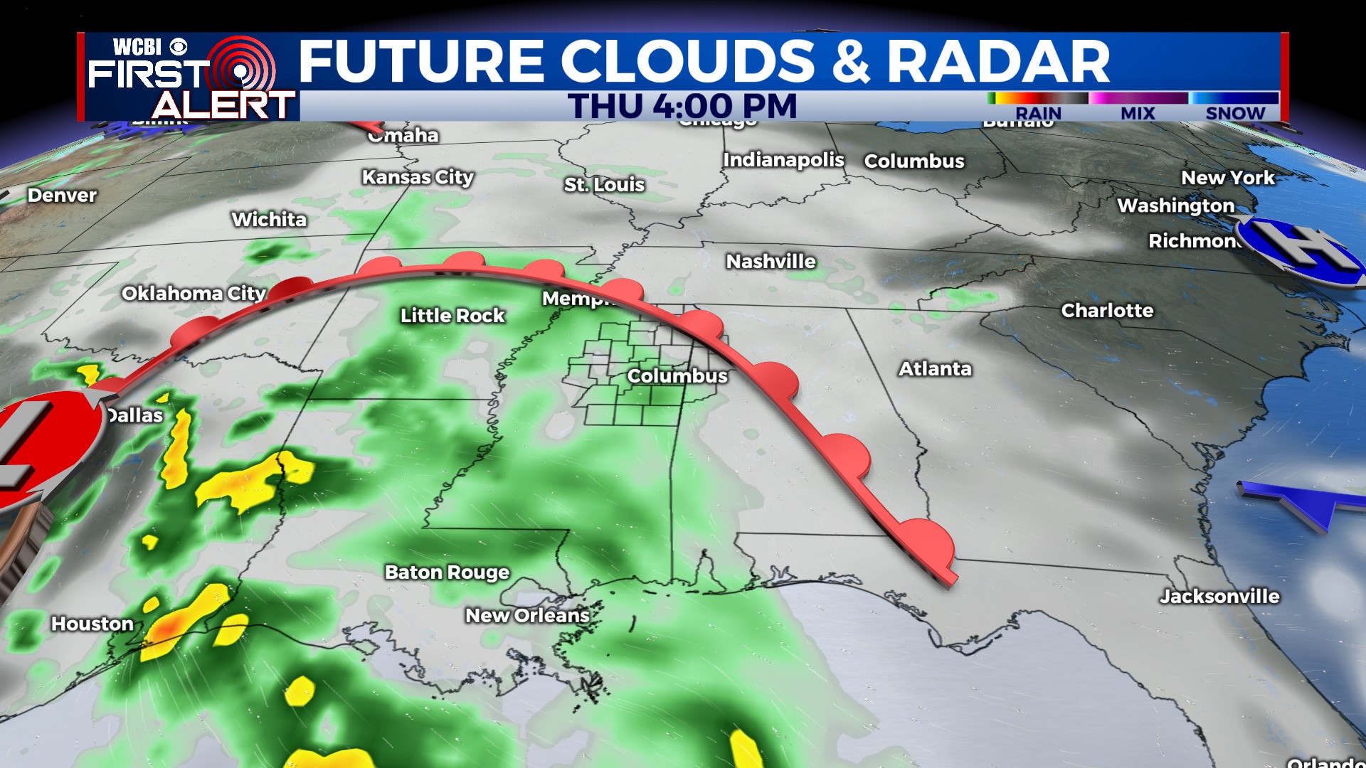
THU/FRI: Clouds become more widespread Thursday ahead of an area of low pressure sliding across the Gulf Coast late-week. A few showers are possible Thursday afternoon and evening, but slightly better rain chances exist on Friday. We still expect the heaviest, most consistent rains to stay closer to the coast…but we’ll monitor any northward trends!
WEEKEND: Clouds slowly decrease Saturday as drier air slowly takes over, and Sunday looks really nice with lots of sun and highs near 70 degrees. We may have low temperatures drop into the upper 30s yet again Sunday morning.


