Chilly December temperatures are here to stay
SUMMARY: It’s a cold start to our Tuesday as we are waking up to temperatures in 20s across north Mississippi and west Alabama. The sunshine is returning after a cloudy and rainy last couple of days. Below average temperatures will stick around for the rest of the workweek and into the weekend. The next chance of rain will come Thursday.
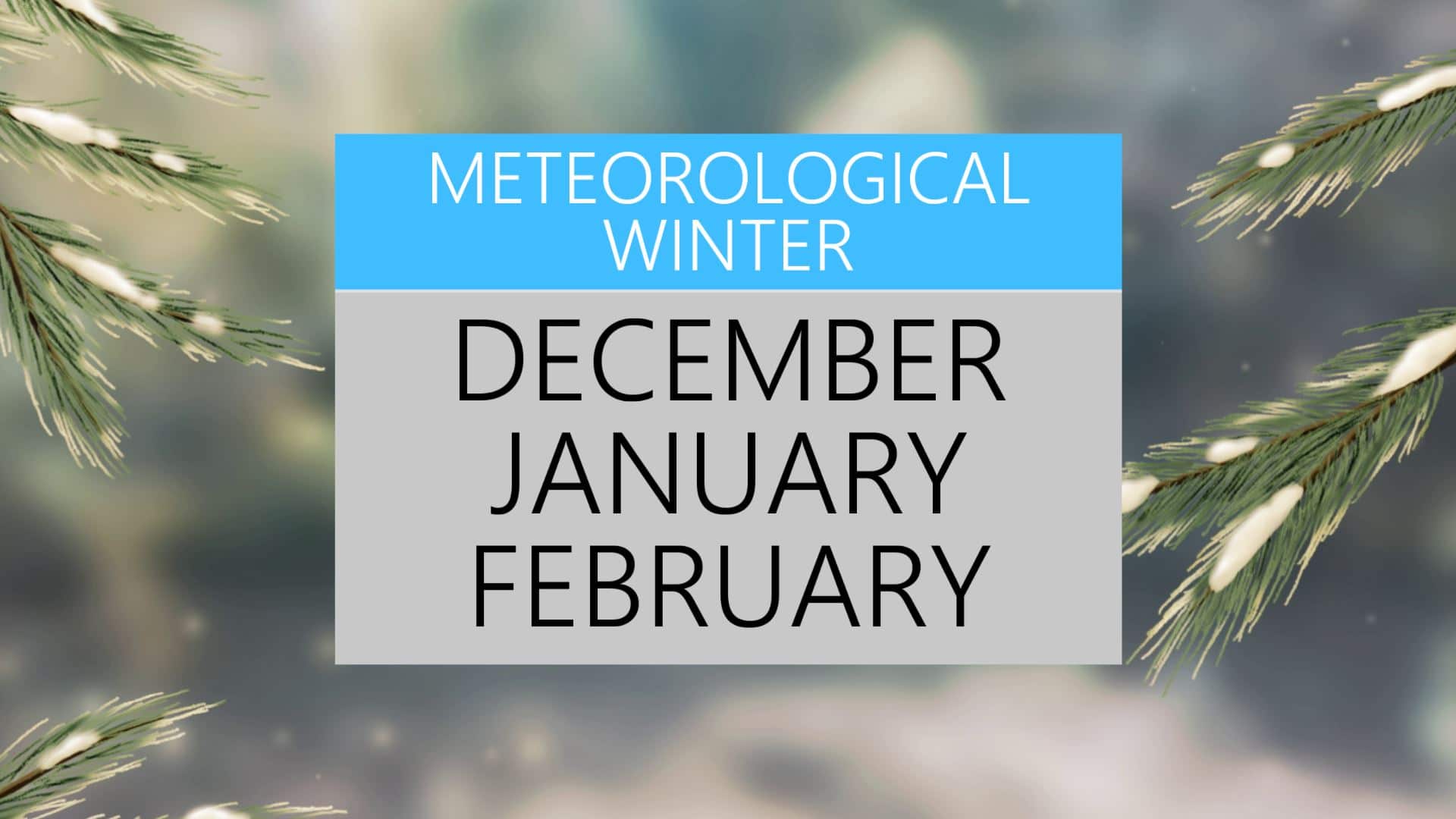
TUESDAY: Happy first day of December and Meteorological Winter. It’s a clear and cold start to our Tuesday as we’re waking up to the 20s across the area. The sunshine will make a return today but it will be a cool day. Highs in the mid to upper 40s. W winds 5-10 mph.
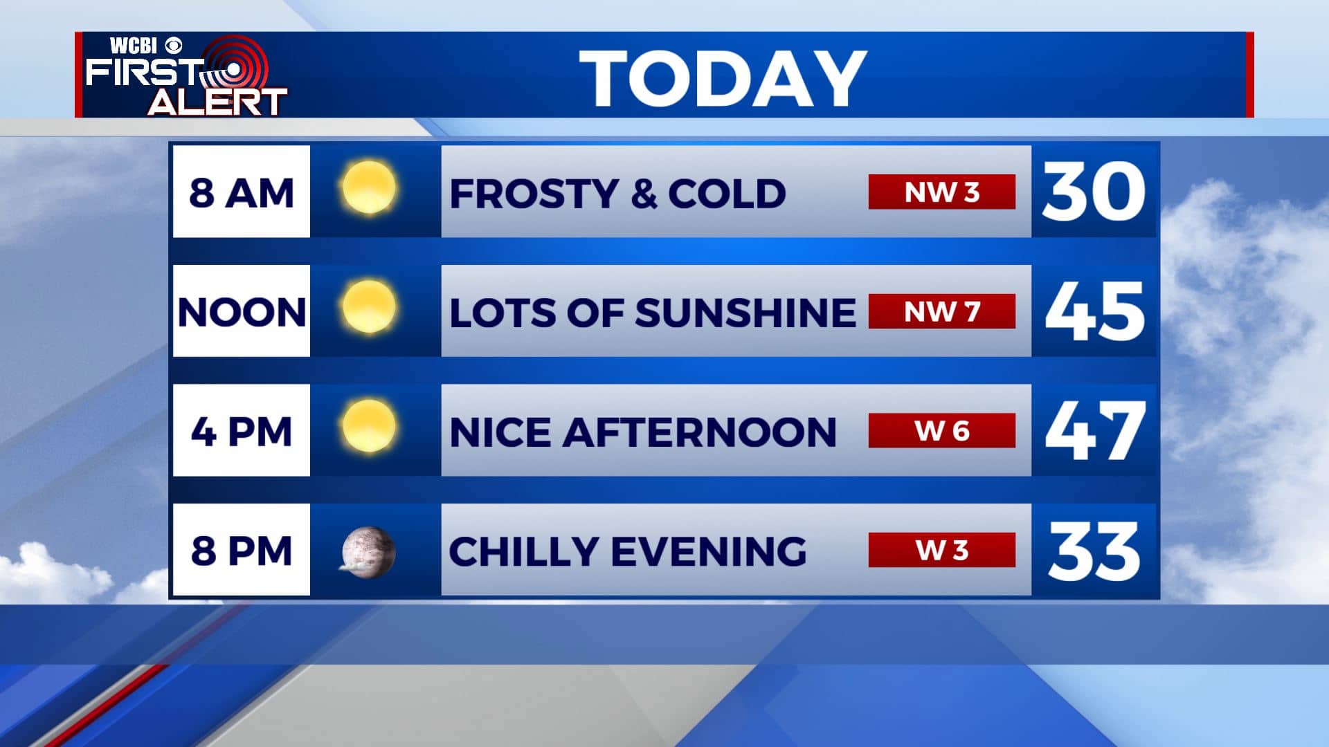
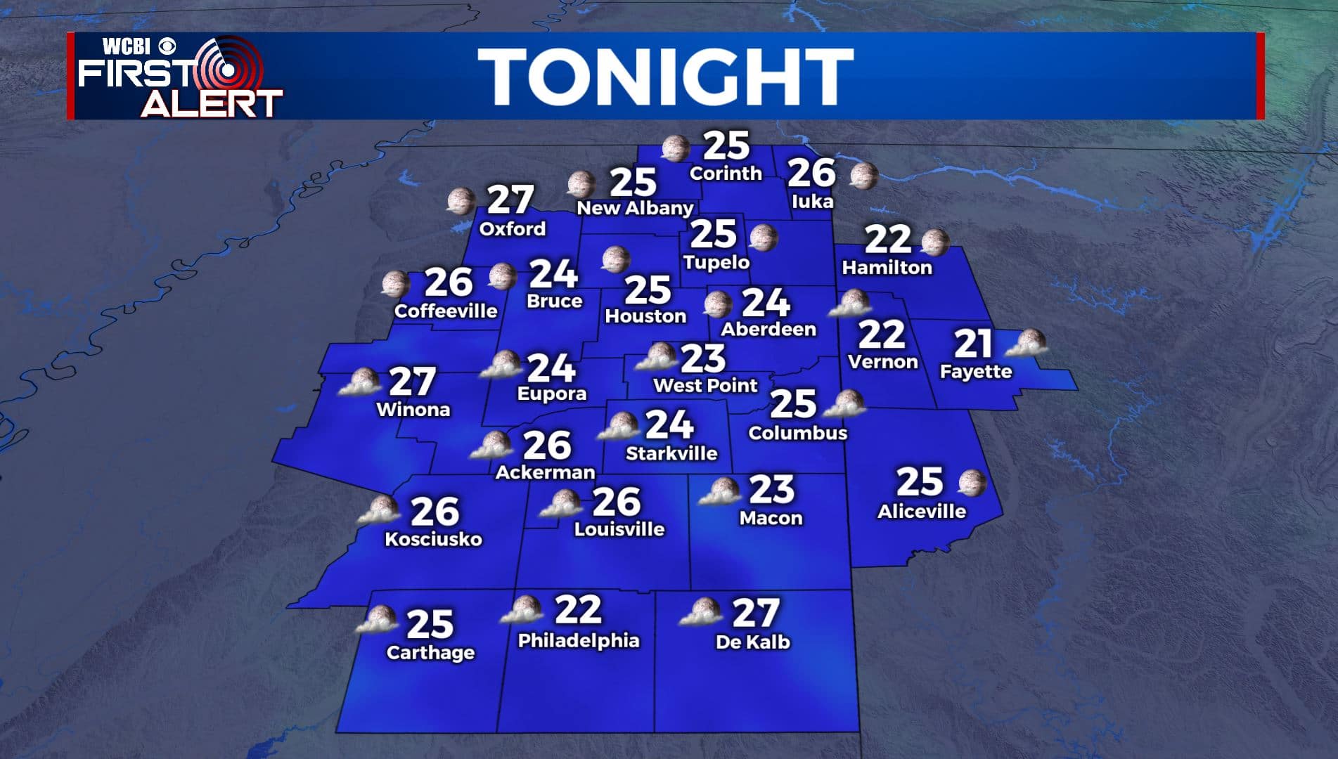
TUESDAY NIGHT: Mostly clear skies and cold once again with overnight lows in the mid 20s. Calm wind.
WEDNESDAY: Mostly sunny skies in the morning before clouds increase in the afternoon as our next storm system approaches. Highs in the low to mid 50s.
WEDNESDAY NIGHT: Mostly cloudy skies with rain moving into the region by daybreak. Overnight lows in the mid 30s.
THURSDAY: Cloudy with a chance of scattered showers. Highs in the lower 50s. Mid 30s for lows Thursday night.
FRIDAY: A chance of lingering showers early will make way to a mix of sun & clouds by the afternoon. Highs in the upper 40s to around 50. Overnight lows in the lower 30s Friday night.
SATURDAY: A really nice but cool weekend is ahead for us. Mostly sunny skies on Saturday. Highs in the mid 50s.
SUNDAY-MONDAY: Lots of sunshine as we end the weekend and begin a new workweek. Highs in the mid 50s.
Stay connected with @WCBIWEATHER on Facebook, Twitter, Instagram, and the WCBI News App


Leave a Reply