Chilly for now, storms arrive again late Friday
COLUMBUS, Mississippi (WCBI) – Chilly weather highlights the forecast the next few days. Warmer air returns late week along with the chance of strong storms.
TUESDAY: Clouds will overspread much of the region today, and light showers, drizzle, or sprinkles will be possible at times. This will hold highs today in the 40s – a chilly, dreary day is expected for most.
WEDNESDAY: Clouds and an isolated shower start the day, but gradual clearing is expected by afternoon. Highs should be able to make it into the upper 50s with sunshine in the afternoon.
THURSDAY: The day begins chilly, but a rapid airmass change should occur through the day as warm, humid air returns to the region. As this happens, a few showers and an increase in cloud cover is expected by afternoon and evening. Still, highs should make it to at least 70 degrees.
FRIDAY: Warm and incredibly humid air is expected for December. Despite cloud cover, daytime highs will soar into the 70s to near 80 degrees with spotty showers possible.
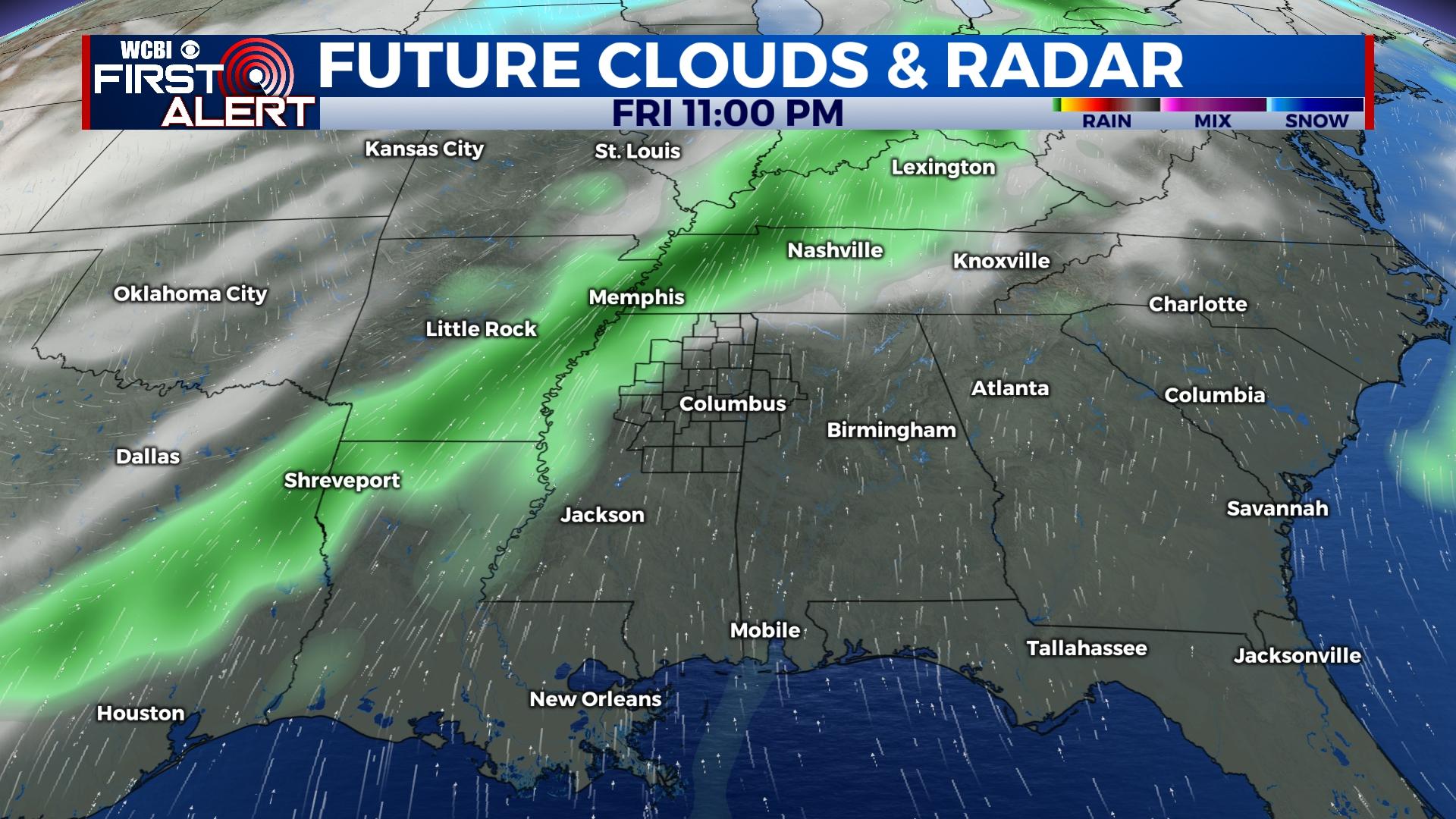
FRIDAY NIGHT/SATURDAY: A slow-moving cold front is expected to move into/through the region and tap into the warm, humid air. Along with increasing wind energy/shear, this juxtaposition of good wind energy with decent thermal energy will pose the threat for strong to severe storms. The storms should be moving out by Saturday afternoon, but stay tuned for further refinements to the timeline of this system.
SUNDAY: The cold air returns! Expect morning temperatures near freezing, but the day will be sunny, cool, and pleasant with highs in the 50s.