Clearing out after tomorrow’s storms
COLUMBUS, Mississippi (WCBI)- Our next system is bringing is heavy showers and storms tonight and throughout the day Wednesday. From there, the sky will clear out and temperatures will drop.
TUESDAY NIGHT: The showers will reach the western border of Mississippi this evening around 8-9 pm. From there, the system will bring in more intense areas of storms across MS throughout the overnight hours. Heavy rain, gusty winds, thunder, and lightning are all likely. Hail and tornadoes are possible. Be prepared for anything tonight by being able to tune in for more details as they occur. Temperatures tonight are expected to fall only into the upper 50s.

WEDNESDAY: The system overnight will stall over Mississippi throughout Wednesday. This will allow several inches of rain to fall, which could cause flooding across Mississippi. High temperatures will be in the upper 60s. Heavy showers and storms are expected to stay through the night too. Low temperatures will drop into the low to middle 40s.
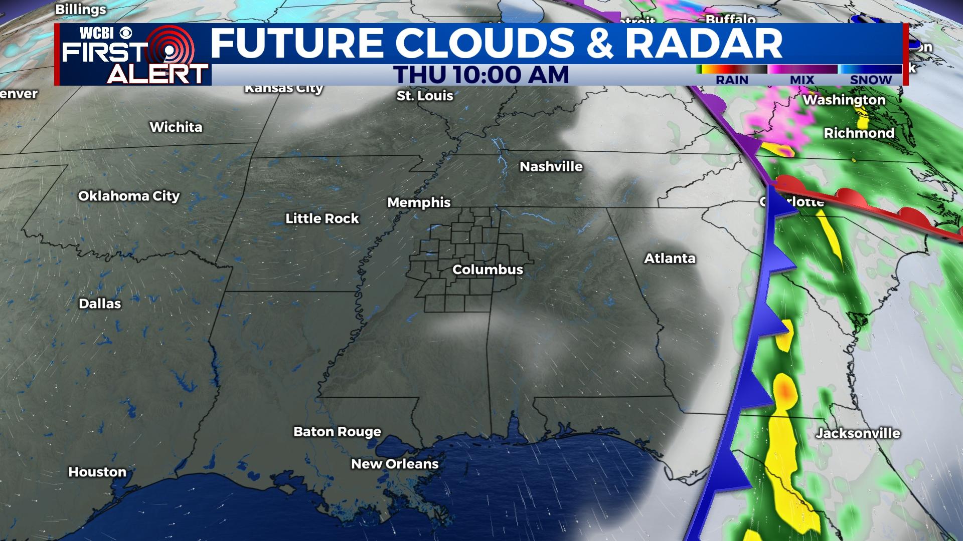
END OF THE WEEK: The last of the rain will move off to the East early Thursday morning. From there, the rain chance drops to near 0% and the heavy cloud coverage will begin to lighten up before rush hour. This calls for sun and partly cloudy sky conditions for the end of the week. High temperatures are going to start getting colder though. For the end of the week, the temperatures will be in the 50s. Overnight low temperatures will be in the 30s!


