Cool and calm for a few more days
COLUMBUS, Mississippi (WCBI)- Conditions are staying calm while becoming slightly cooler. The next round of rain moves into North Mississippi on Friday.
TUESDAY NIGHT: The cloud coverage will be clearing out late tonight. With the sky becoming more clear, temperatures are likely to take a big drop. Overnight temperatures are going to be much cooler tonight, in the upper 30s to lower 40s.
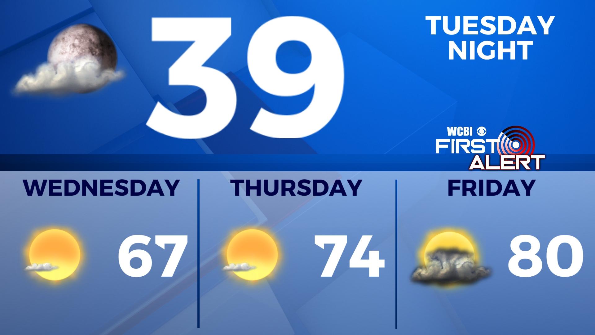
WED/THURS: Conditions are staying comfortable and calm for a few days in the middle of the week. The sky will stay mostly clear, with only a few light clouds possible. Wednesday will be the coolest day of the week, only reaching the middle to upper 60s. Overnight Wednesday into Thursday morning, temperatures will be back in the upper 30s to lower 40s. Thursday works the temperatures back into the middle 70s. Low temperatures will be more mild Friday morning, in the middle 50s.
FRIDAY: Moisture is going to be building back into the Deep South ahead of the next front coming in from the NW. Rain showers and storms are going to be possible across northern Mississippi, staying mostly to the North of US 82. There is a risk of some of these storms becoming severe, as they enter into unstable air. The Storm Prediction Center has already placed a Level 2 – Slight Risk across most of the NE corner of Mississippi. The WCBI weather team is watching this closely – stayed tuned for more details during the week.